



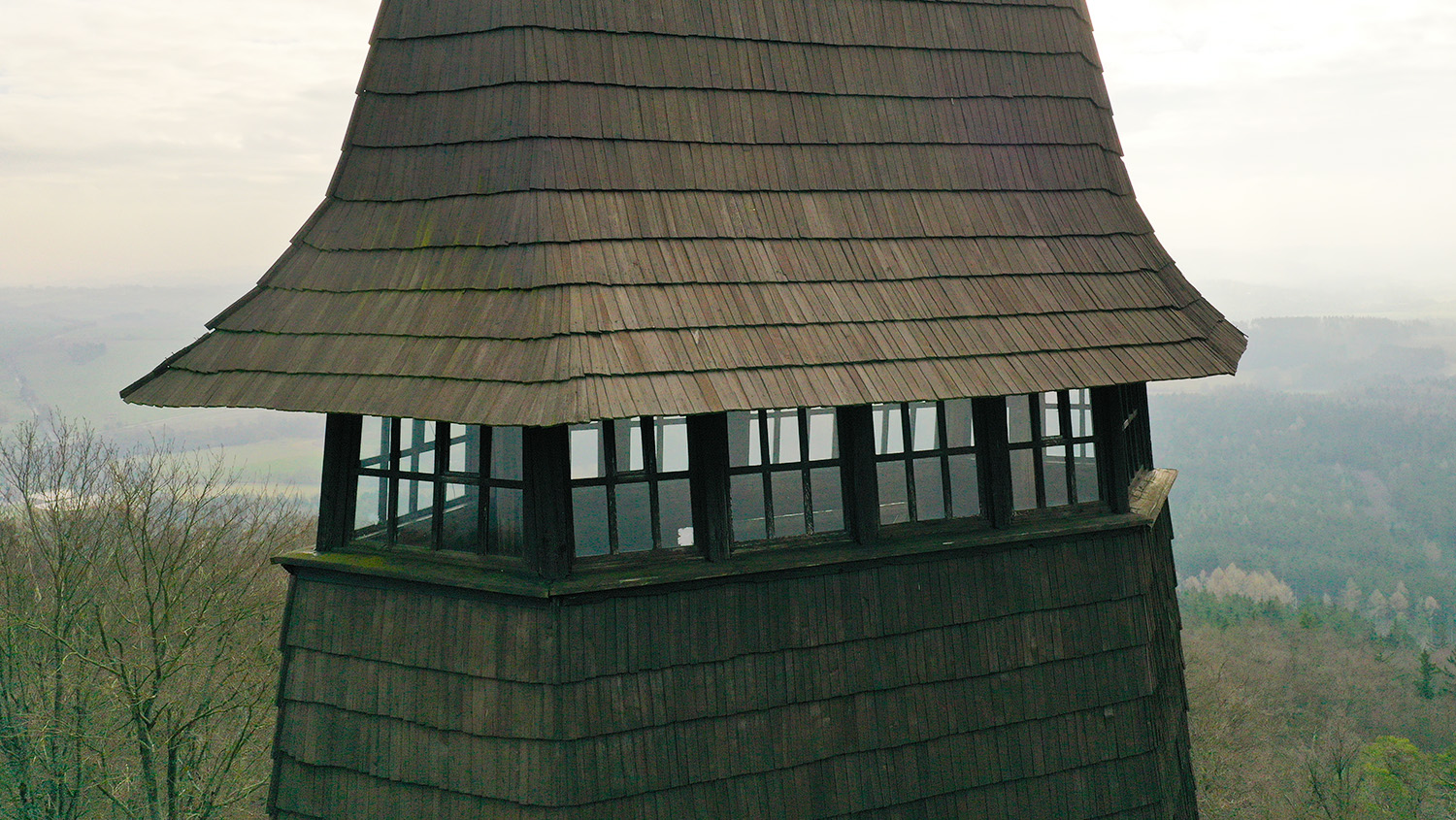
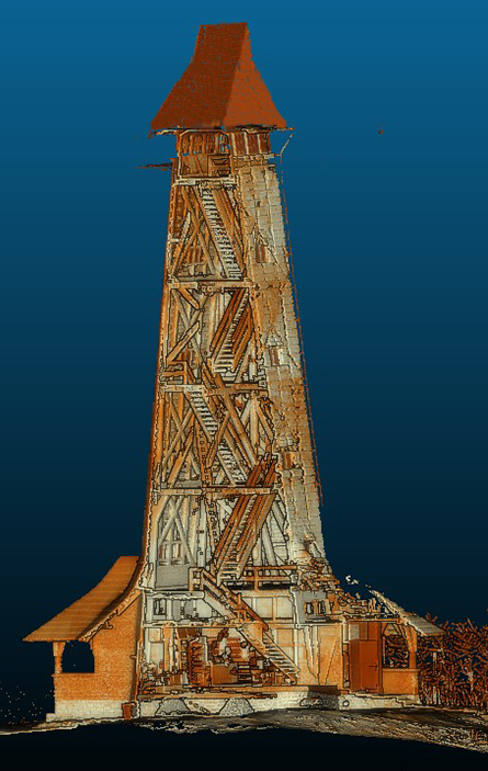
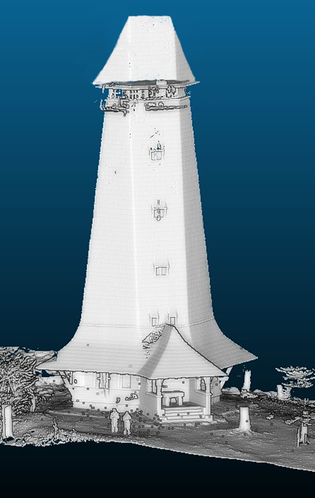
We conducted a detailed survey of the observation tower at the summit of Velký Blaník for the municipality of Louňovice pod Blaníkem. The goal was to create accurate and comprehensive documentation of the current condition as a reliable basis for further design work, including complex and hard-to-reach details.
Given the complex nature of the structure, we chose the method of modern 3D laser scanning. This method allowed for the precise capture of the geometry of even the most difficult-to-access parts of the structure. The results were processed and delivered in the S-JTSK coordinate system and the Bpv elevation system.
Creating a 3D Model
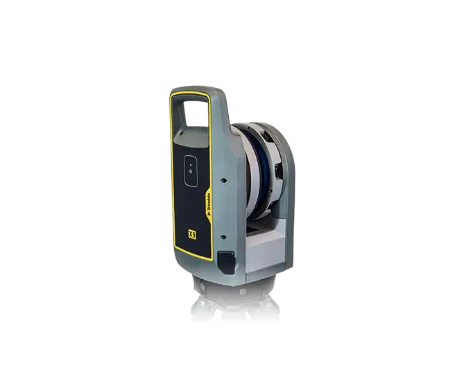
Data collection was performed using a Trimble X9 terrestrial laser scanner, which enables the acquisition of dense, high-quality point clouds even for more complex structures while ensuring a seamless connection to the control points. Existing control points from the triangulation network were utilized to achieve the required accuracy.
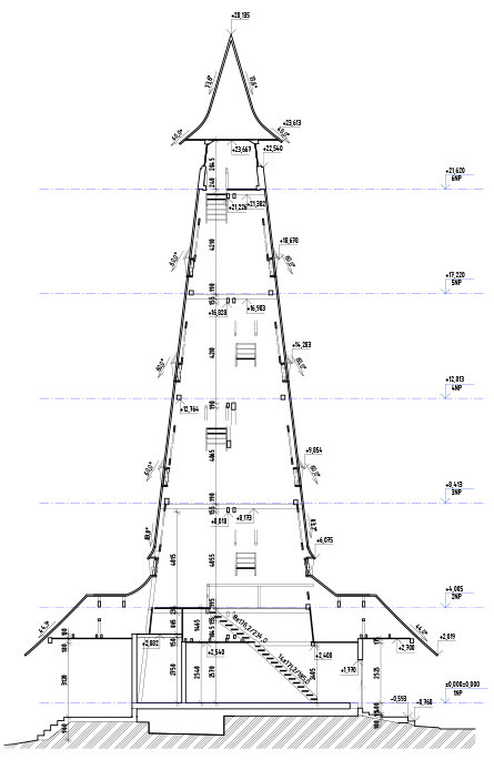
Processing was performed using the specialized software Trimble RealWorks and Autodesk Revit. The point clouds were first georeferenced and then aligned. The object was then vectorized, and the data was prepared for the subsequent creation of documentation. The output is a comprehensive set of data—a 3D point cloud and 2D drawing documentation (floor plans, sections, and elevations) in DWG and PDF formats.
The cleaned data was converted to a suitable format in Autodesk ReCap and then imported into Autodesk Revit using coordinates. The object was then vectorized in Revit, resulting in a 3D model of the building. This was followed by the preparation of construction drawings (floor plans, sections, and elevations) and their export to the required formats.
.jpg)

.jpg)

