.jpg)
A Building Passport is simplified documentation of the as-built condition of a property. It is a set of documents describing the basic information about the property and its current condition. The Building Passport therefore contains important and up-to-date information about the building:
- Accompanying Report: contains the basic identification data of the property
- Summary Technical Report: describes the construction itself
- Simplified Layout Drawing: plotting of the construction in the cadastral map
- Simplified Drawing Documentation: contains simplified floor plans, sections and views, usually at a scale of 1:50
The scope of the Passport is defined in detail by Decree No. 131/2024 Coll. on Construction Documentation (Annex 11).
The Building Act requires every owner of a building or property to keep construction documentation corresponding to its current condition for the entire existence of the property. This obligation applies to all property owners regardless of the type or age of the property.
What is the Building Passport needed for?
- You will meet the legal obligation and update the missing or obsolete documentation
- You will legalize the construction – a geometric plan and geodetic update documentation (GAD) for entry into the Digital Technical Map of the Czech Republic may be prepared together with the Passport
- You will get detailed and accurate basic documents for:
- reconstruction, rebuilding or demolition,
- design of technical equipment of the building,
- design of interior adaptations and layout,
- creation of the energy performance certificate of the building (PENB),
- sale or lease of the property,
- change of purpose of use of the building,
- easier dealings with the authorities regarding your property in any further proceedings.
Offered outputs
- Simplified documentation or as-built documentation according to the applicable legislation
- Dense 3D point cloud coloured from RGB images
- 2D drawings (floor plans, sections, views)
- Detailed and accurate 3D models of objects
- Building Information Model (BIM)
- Display and records of data in the MawisGeoportal web environment
Why get a Building Passport in 3D?
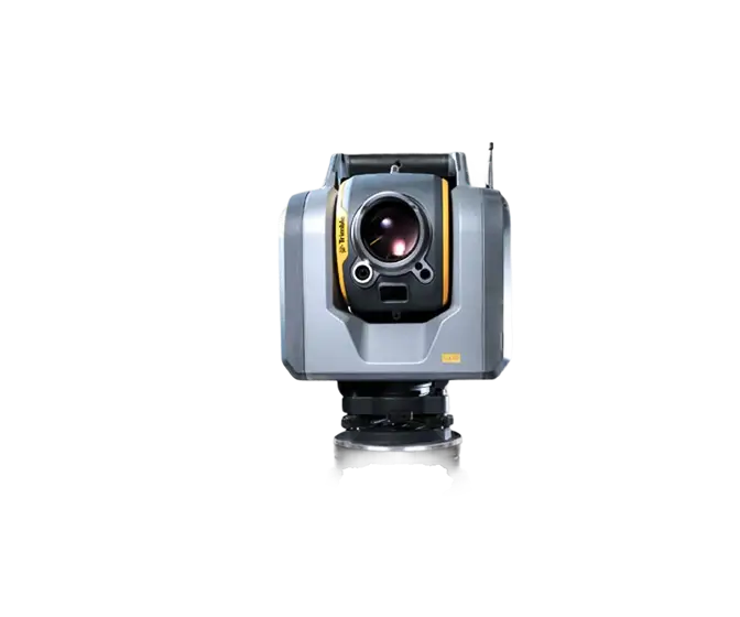
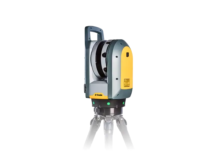
- You get detailed and accurate documentation of the object using state-of-the-art static laser scanning (detailed and precise information in the form of a dense 3D point cloud)
- From the 3D point cloud we create the basis for 2D drawings, 3D models and BIM
- We can split the 3D point cloud into smaller objects such as buildings, floors, windows, doors etc. and assign the necessary information, documents and attributes to them
- For these segments it is then possible to record object properties such as floor, material, type etc.