

3D documentation of engineering networks by mobile phone
Read

3D documentation of utility networks by mobile phone

For EG.D we provided 3D data collection in the field at the LV and HV transformer stations.

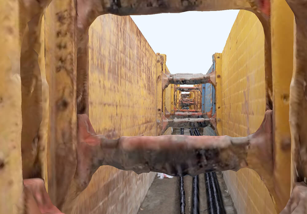
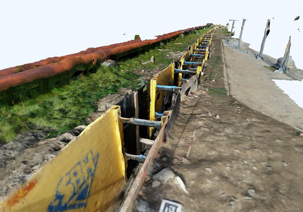
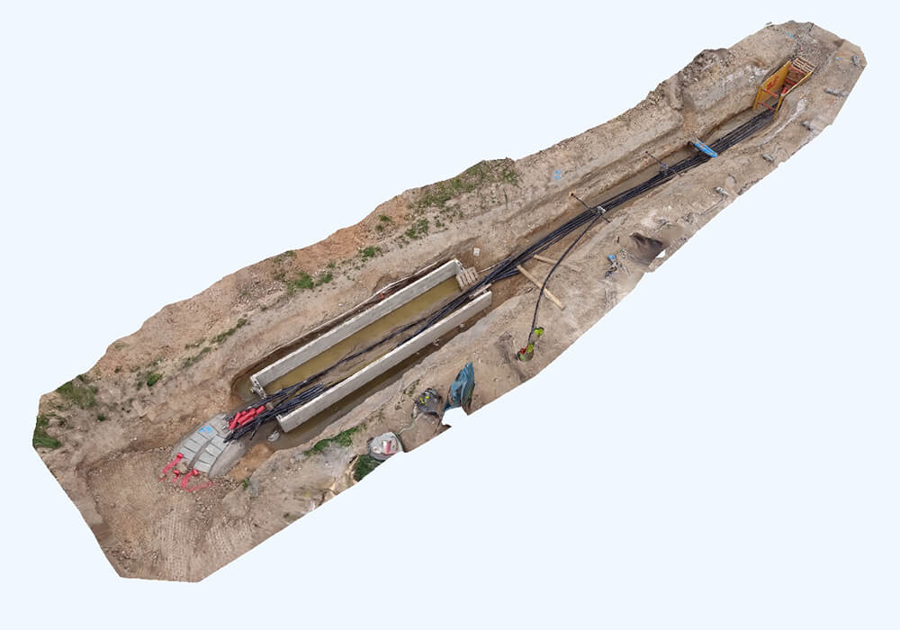
For EG.D, as part of a pilot project on a test polygon at the 110/22kV České Budějovice Střed transformer station, we carried out data collection by mobile phone and then by drone. 3D documentation of trenches and cable routes directly from the field was possible thanks to the MawisPhoto service, the output of which was subsequently 3D models in class 3 accuracy, enabling inspection of the building, materials, and construction.

Creation of 3D Model

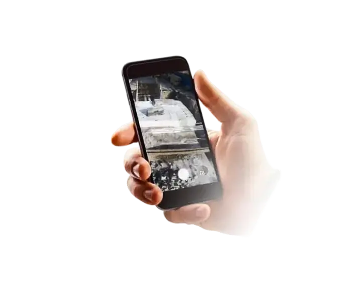
Testing was carried out in two waves (at the low voltage LV level and at the very high voltage HV level) in České Budějovice Střed. Thanks to the data collection method for MawisPhoto and the surveying by a surveyor, it was possible to create a georeferenced 3D model of the line buried in the ground. Before the survey, QR-coded insertion points were placed around the trench with the line. These points were not only used for data collection for the MawisPhoto application, but were also surveyed by a surveyor from HRDLIČKA spol. s r.o. The MawisPhoto application is used to collect data with a mobile phone. As this was a large excavation system, the data collection was done by drone. The MawisPhoto method is based on digital stereophotogrammetry.

Another test, this time by mobile phone, took place near the transformer station in Ke Špačkům Street in České Budějovice 6. The results were then: a 3D mesh model in the MawisPhoto web 3D viewer and 3D mesh in fbx and obj downloadable formats (the formats with the most support across 3D software).
Objectives and Benefits

The aim of the pilot project for EG.D was to create 3D models of the substation, trenches, and cable routes in at least Class 3 accuracy for both low voltage (LV) and very high voltage (VVN) levels. Comparison of two data collection methods: using a mobile phone and the MawisPhoto app, and by drone for maximum efficiency and safety. Then prepare outputs that are fully compatible with GIS systems and available online.

Graphic Benefits

  • inspection of the building, materials, and structure
  • possibility to measure the cubature from the office
  • visualization with data on excavation depth, distances, and lengths online
  • documentation of the building in minimum accuracy class 3
  • better orientation and imagination for the customer (solution of changes in the project)
  • possibility to generate 2D drawings

Non-Graphic Benefits

  • simple and fast data collection in the field, thanks to a common mobile phone with an installed application
  • Greater safety in the case of drone surveying (eliminates the movement of the operator around the excavation)
  • easier data collection on larger areas in the case of drone surveying
  • efficiency (reduction in the number of construction supervision trips, it is enough to check “from the table” based on the 3D model)
  • possibility of connection to the facility management (use by the investor)
  • possibility to choose from several types of 3D models, detailed and financially different for different phases of construction
Technologies used

Mobile Phone

Mobile phone for immediate use and acquisition of construction documentation, both outside and inside the building. It uses its own camera/camera to record the sequence of shots and video recording. The modern electronic service MawisPhoto will then allow the subsequent creation of 3D models.

Contact us

Not sure which service is right for you?
Ask our experts.
Thank you
Your data request has been successfully sent!
We will contact you soon.
Something went wrong, please try again.
Ing. Miroslava Kubíčková
Expert consultant in the field of mapping, LiDAR, photogrammetry, UAV/UAS, 3D models, and BIM
