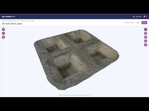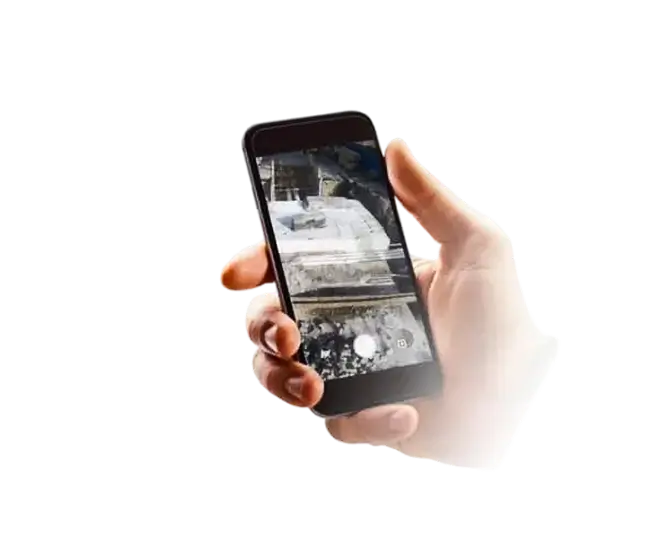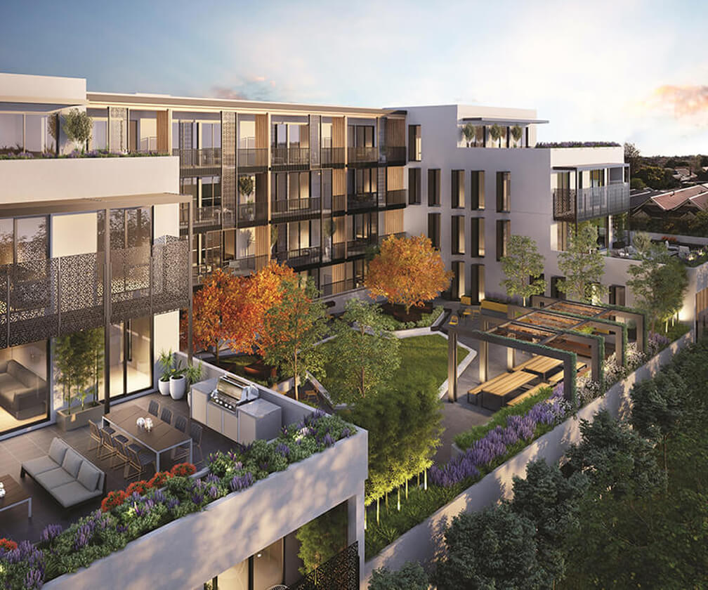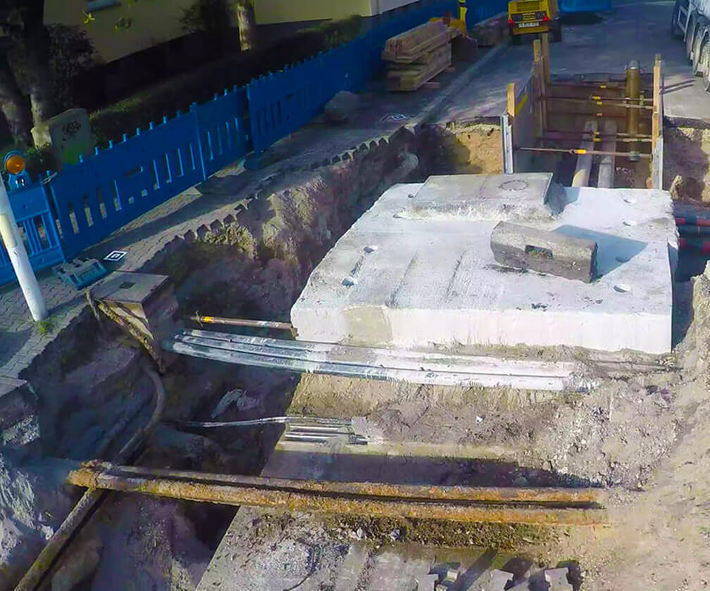
MawisPhoto is a service designed to facilitate and speed up building documentation using a mobile phone. The created 3D models allow the inspection of the building, materials, and construction, as well as the measurement of cubic volume, excavation depth, distance, and length.
Benefits of MawisPhoto
- Very quick data collection for construction documentation in mapping accuracy Class 3
- Easy remote inspection of buildings in 2D and 3D views
- Creation of 3D model in coordinate system
- Guaranteed data in accuracy Class 3
- Everything online, in one place
Offered outputs
- Coloured point cloud or mesh
- 3D object model
- 3D/2D vector drawing
- Building Information Model (BIM)
- Orthophoto in high resolution
- Digital surface model