.jpg)
Aerial photogrammetry is a surveying method that allows contactless data collection of the Earth’s surface using aircraft or drones. The principle of aerial photogrammetry is to take pictures and perform surveying during the flight and then evaluate the recorded condition from the photos taken over time.
Advantages of Photogrammetry
- The possibility of targeting large territorial units
- Timeliness and high detail
- High accuracy and speed
- Surveying dangerous and hard-to-reach locations
- Monitoring the evolution of the site or object condition over time
Offered outputs
- Orthophoto in high resolution
- Digital terrain and surface model
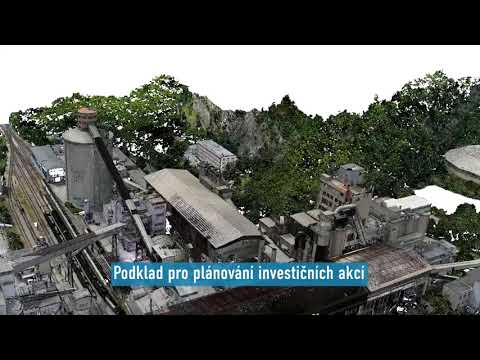
- Coloured point cloud or mesh
- Calculation of removal volumes
- Spatial data visualisation

.webp)