


Instruments
State-of-the-art surveying equipment for accurate 3D data capture in the field and indoors. We select the right technology based on the type of project and the required level of accuracy.

Our Instruments
See what we're working with
Drones
Scanners
Mobile devices
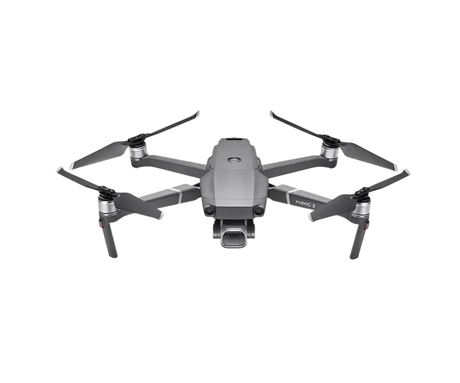
DJI Mavic 2 Pro Drone
A small drone that is more aerodynamic, quieter, more powerful, and even smarter than its predecessor. It is enhanced with a new spectacular Hyperlapse feature, and its extra-high-quality cameras capture 4K footage.
.webp)
DJI Phantom 4 Pro
We use this drone mainly for more precise and less extensive work, or for vertical mapping. It is equipped with a high quality 20 megapixel camera with the ability to record 4K videos.
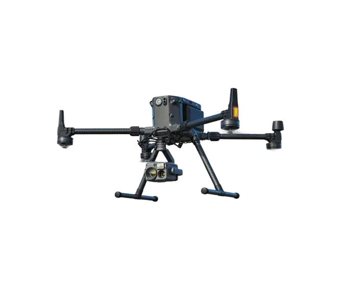
DJI Matrice 300 RTK Drone
This professional heavy-duty drone can hang up to 3 devices and has several intelligent modes for search, surveillance and targeting missions. The flight time is almost 1 hour.
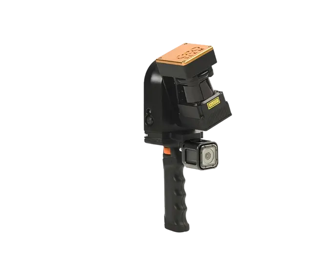
Geoslam ZEB REVO RT
Mobile laser scanning system for use especially in interiors of objects and buildings. It uses a combination of laser scanning and SLAM (localization and mapping simultaneously) technologies.
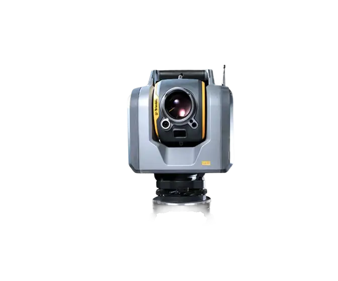
Trimble SX10
The Scanning Total Station is an innovative solution in mapping, engineering and geodesy worldwide, thus setting new standards for geodetic instruments.
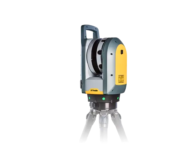
Trimble X7
The high-speed scanning station is the latest innovative mapping, engineering and geodesy solution that provides data visualization in the field. The basis is fully integrated 3D scanning functions. Allows you to export data to standard point cloud formats.
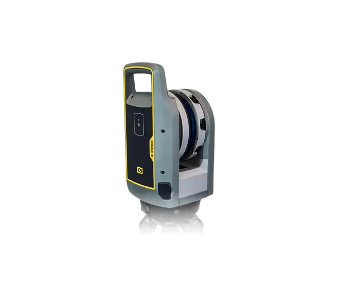
Trimble X9
A high-speed scanning station with a high degree of automation (autocalibration, auto-horizon, autoregistration,...) extends the Trimble X7. It delivers greater range, higher precision and sensitivity of the laser, improving scanning results. Dark or reflective surfaces that are still difficult to process can be scanned, as well as smaller areas with higher density to obtain the necessary detail.
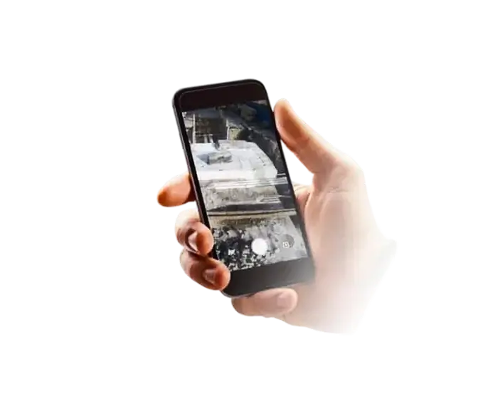
Mobile Phone
Mobile phone for immediate use and acquisition of construction documentation, both outside and inside the building. It uses its own camera/camera to record the sequence of shots and video recording. The modern electronic service MawisPhoto will then allow the subsequent creation of 3D models.
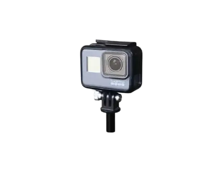
GoPro camera
GoPro cameras for immediate use and taking documentation of buildings, both outside and inside the building. Full HD cameras for recording the sequence of images and video recording. The modern electronic service MawisPhoto will then allow the subsequent creation of 3D models.

Ing. Miroslava Kubíčková
is available to you
Consult options
We work on small and large-scale projects throughout the Czech Republic...
We work on small and large-scale projects throughout the Czech Republic. We collaborate with architects, design engineers and developers, as well as smaller construction companies and private investors. Every project matters to us, regardless of size – we approach each one with care, responsibility and a strong focus on quality.
Contact us
Not sure which service is right for you?
Ask our experts.

Ing. Miroslava Kubíčková
Expert consultant in the field of mapping, LiDAR, photogrammetry, UAV/UAS, 3D models, and BIM