3D documentation of engineering networks by mobile phone
Read

Schools in Nové Město nad Metují

We have developed a BIM model of 6 buildings of the Secondary Industrial, Vocational and Primary School in Nové Město nad Metují.
6143 m2

For the Hradec Králové Region, we have developed a passportisation of the interior and exterior of the buildings of the Secondary Industrial, Vocational and Primary School. We chose photogrammetry and classical geodetic methods. Using the 3D laser scanning method, we have comprehensively focused on all 6 buildings with almost 300 rooms. The passport was prepared in the form of the BIM method, it involved the creation of a 3D model with information according to the standard of the ČAS agency. The output was a 2D drawing documentation (situation, floor plans, sections, views) including HVAC distribution and 3D models of the building, including individual models of technical installations in IFC format based on the specification according to the ČAS agency in the DSPS phase. The handover of the work included a technical evaluation report for individual objects and 2D construction documentation, which had to be based on the 3D model, and only dimensions and annotation descriptions were added to the 2D documentation.

Creation of 3D Model

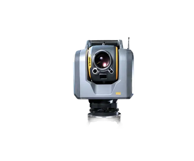
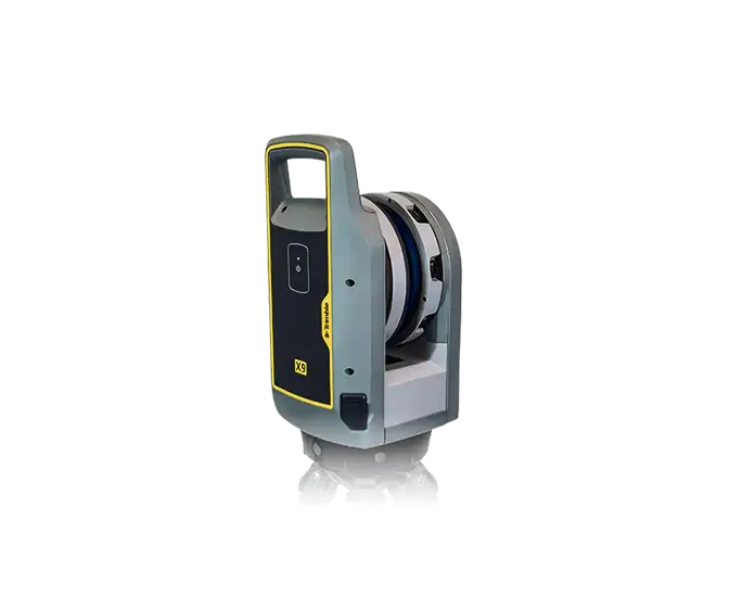
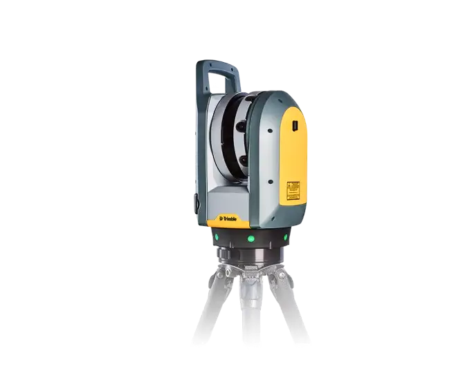
The actual scanning was done with static scanners. A Trimble SX10 scanner combined with a total station was used to achieve the required accuracy. This machine was used to create a skeleton of accurate scans of the exterior. Two other scanners, the Trimble X9, which has a high level of automation (self-calibration, auto-horizoning, self-registration...), and the Trimble X7 scanner, were used to complete the scans and, where necessary, to shade the exterior areas. At the same time, GNSS waypoints were used for georeferencing to S-JTSK. The resulting point clouds were programmatically processed and digitized in Autodesk and AutoCad software. The clouds were used as a geometric basis for the creation of a 3D model of the building and a 3D model of the individual technical installations. The classification of the elements was done according to the CCI codebook, and descriptive information was added based on the specification of the CCA agency in the DSPS phase. The handover of the work included a technical evaluation report of the individual objects and 2D construction documentation, which had to be based on the 3D model, and only dimensions and annotative descriptions were added to the 2D documentation.
Objectives and Benefits

Our objective was to collect 3D data at the required accuracy and density to create a 3D model of existing buildings including BIM at the required level and detail. Data was collected using laser scanning with Trimble SX10, Trimble X9, and Trimble X7 static scanners and aerial photography. This combination allows for sufficient data accuracy and sufficient density of the resulting cloud to process the 3D model. Creating a complete 3D model using laser data allows for a permanent record of the interior, an attractive presentation, or analysis of the space for further planning or reconstruction.

Graphic Benefits

  • isibility of structures and HVAC installations (graphical and descriptive information)
  • determination of detailed features and general geometry of objects
  • high precision orientation of the object
  • high speed and determination of results when needed
  • detailed orientation
  • better orientation and imagination for the customer (dealing with changes in the project)
  • presentation visualization of the object as a whole
  • suitable basis for design and modelling
  • realization of sections in any location and level of detail
  • possibility to generate 2D drawings

Non-Graphic Benefits

  • fulfilling legal obligations and updating missing or outdated documentation
  • possibility to connect to facility management (use by the investor)
  • simple and fast spreadsheets, statistics
  • easy update of 3D models
Technologies used

Trimble X9

A high-speed scanning station with a high degree of automation (autocalibration, auto-horizon, autoregistration,...) extends the Trimble X7. It delivers greater range, higher precision and sensitivity of the laser, improving scanning results. Dark or reflective surfaces that are still difficult to process can be scanned, as well as smaller areas with higher density to obtain the necessary detail.

Trimble X7

The high-speed scanning station is the latest innovative mapping, engineering and geodesy solution that provides data visualization in the field. The basis is fully integrated 3D scanning functions. Allows you to export data to standard point cloud formats.

Trimble SX10

The Scanning Total Station is an innovative solution in mapping, engineering and geodesy worldwide, thus setting new standards for geodetic instruments.

Contact us

Not sure which service is right for you?
Ask our experts.
Thank you
Your data request has been successfully sent!
We will contact you soon.
Something went wrong, please try again.
Ing. Miroslava Kubíčková
Expert consultant in the field of mapping, LiDAR, photogrammetry, UAV/UAS, 3D models, and BIM