3D documentation of engineering networks by mobile phone
Read

BIM

A modern process of creating a 3D building model complete with graphical and descriptive information about all elements.

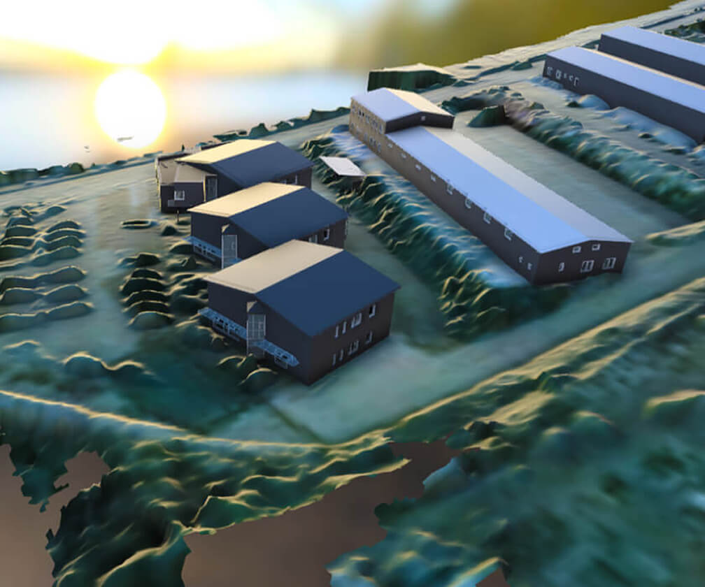
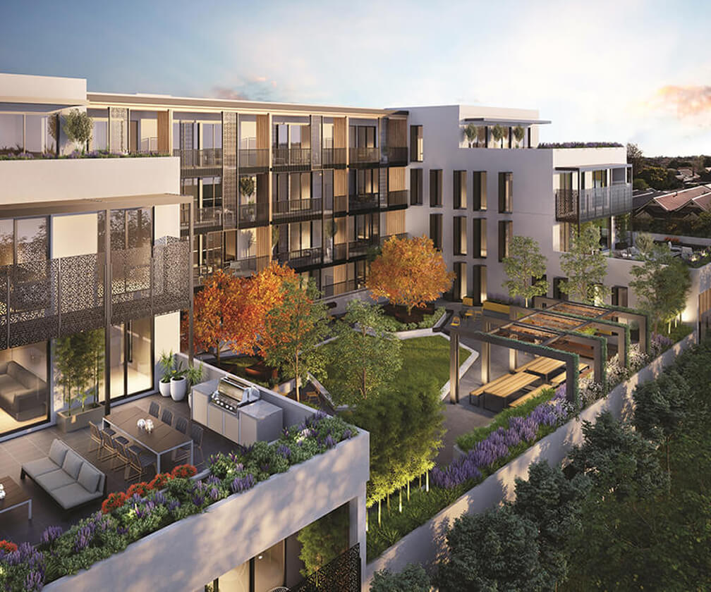
Building information model is a modern process of creating a building using graphical data and descriptive information for the individual elements or objects in the form of a 3D model, which is used from designing, through building registration, to building management. BIM is a facility management resource.

Advantages of BIM model

  • Cost and time savings calculated over the entire life cycle of the building
  • Improved communication between the participants in the construction process
  • Greater control of the construction process and increased quality of the work
  • Better access to information and transparency in construction decision-making
  • Easier processing of different model variants

Offered outputs

  • 3D digital model at the required level of detail
  • Possibility to visualise the model in a web browser
  • New possibilities for presentation and explanation of the construction project
  • Data analysis and evaluation in the form of spreadsheets
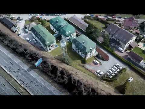
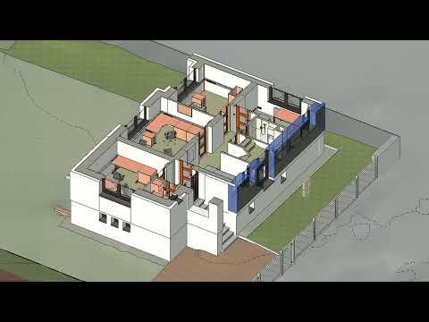
HRDLIČKA – BIM model of a building
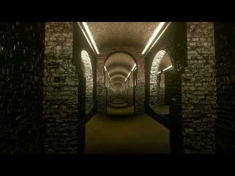
Water reservoirs on Žlutý kopec
3D geodetic survey of a building
Technologies used

DJI Phantom 4 Pro

We use this drone mainly for more precise and less extensive work, or for vertical mapping. It is equipped with a high quality 20 megapixel camera with the ability to record 4K videos.

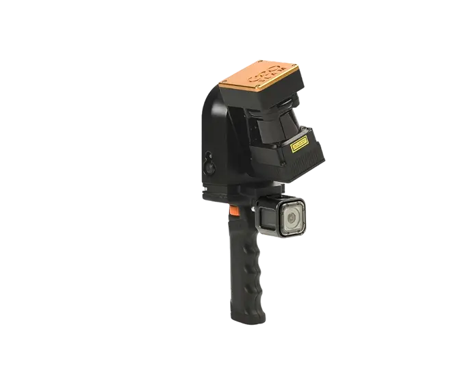
Geoslam ZEB REVO RT

Mobile laser scanning system for use especially in interiors of objects and buildings. It uses a combination of laser scanning and SLAM (localization and mapping simultaneously) technologies.

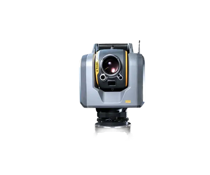
Trimble SX10

The Scanning Total Station is an innovative solution in mapping, engineering and geodesy worldwide, thus setting new standards for geodetic instruments.

Contact us

Not sure which service is right for you?
Ask our experts.
Thank you
Your data request has been successfully sent!
We will contact you soon.
Something went wrong, please try again.
Ing. Miroslava Kubíčková
Expert consultant in the field of mapping, LiDAR, photogrammetry, UAV/UAS, 3D models, and BIM