3D documentation of engineering networks by mobile phone
Read

Orthophotomap

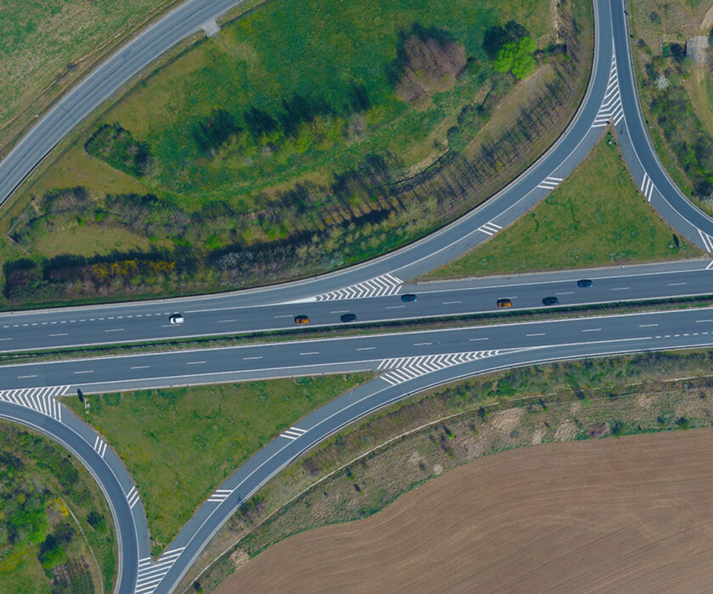
An orthophotomap is a true and clear image of the Earth’s surface. It is a mosaic of aerial survey images placed in a coordinate system and rectified to a plane according to the terrain. It keeps the properties of a map: scale, coordinate system and orientation. Its high informative value, completeness, clarity and detail reflect the actual state of the Earth’s surface, which makes it a reliable source of information.

Advantages of an Orthophotomap

  • Accuracy and shape fidelity of the terrain display
  • Surveying dangerous and hard-to-reach locations
  • True colour display and therefore better readability
  • Complete and clear view of the Earth’s surface
  • Monitoring the evolution of the site or object condition over time

Offered outputs

  • Orthophoto in high resolution
  • Digital terrain and surface model
  • Coloured point cloud or mesh
  • Spatial data visualisation
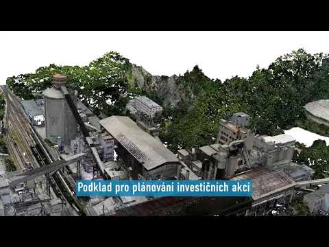
Documentation of a production site
Technologies used

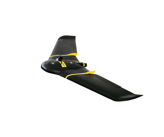
SenseFly eBee Plus

We use the wing mainly for the area of larger orders. The flight time is almost 1 hour due to its light weight and the fact that it is an unmanned aircraft with a pusher engine.

DJI Phantom 4 Pro

We use this drone mainly for more precise and less extensive work, or for vertical mapping. It is equipped with a high quality 20 megapixel camera with the ability to record 4K videos.

Contact us

Not sure which service is right for you?
Ask our experts.
Thank you
Your data request has been successfully sent!
We will contact you soon.
Something went wrong, please try again.
Ing. Miroslava Kubíčková
Expert consultant in the field of mapping, LiDAR, photogrammetry, UAV/UAS, 3D models, and BIM