3D documentation of engineering networks by mobile phone
Read

Railway Tunnels

Update of documents for the planned reconstruction of the Tanvald – Kořenov railway section.
7 375 m2

Railway line 036 (Liberec – Tanvald – Harrachov) is located in a hilly area and its slope reaches up to 0.58‰. Due to the high slope, it was equipped in several sections with a cogwheel, which you will not see elsewhere in the Czech Republic. Since 1992, it has been a cultural monument of the Czech Republic.

Within the preparation of the reconstruction of the Tanvald – Kořenov section, it was necessary to update the geodetic documents. This included in particular the revision and renewal of the point field, updating the position and elevation map, finding the exact position of the track, and scanning the tunnels.

‍

Scanning of Railway Tunnels

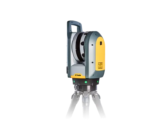
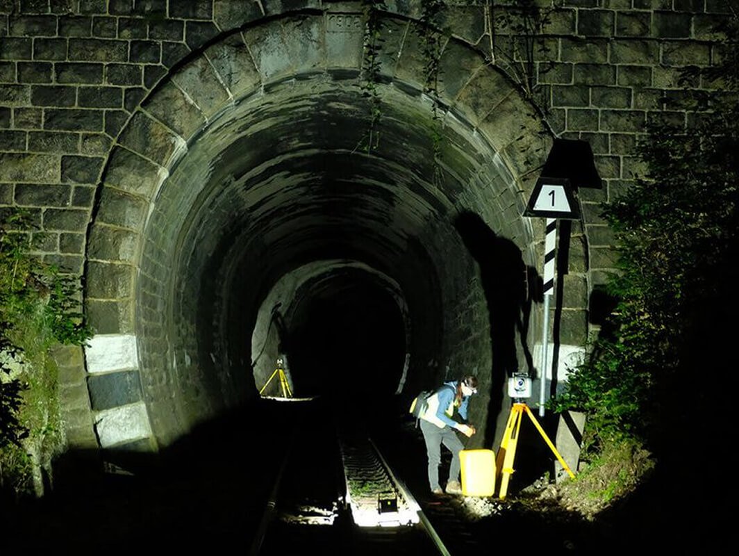
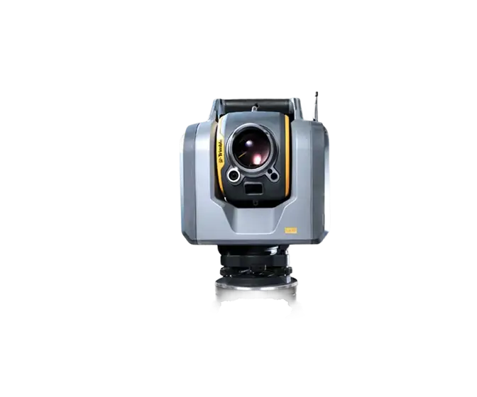
The line includes 4 railway tunnels with a total length of 1,425 m (Polubenský tunnel, Dolnopolubenský tunnel, Desenský tunnel, and Žďárský tunnel). The profile of these tunnels is quite rugged and often alternates between bare cuttings with primary and secondary lining. With regard to the expected change in the spatial position of the track, it was necessary to measure all tunnels in great detail. The resulting survey is to be used for comparison with the theoretical clearance profile of the modified track position. Laser scanning is the most suitable method for this purpose. Using a combination of Trimble SX10 and Trimble X7 laser scanners, it was possible to survey the tunnel profile with a high degree of accuracy and detail.

Output Data Format: RVT
Objectives and Benefits

Our goal was to obtain a point cloud according to the desired accuracy and density. This was ensured by using a combined scanner and a Trimble SX10 precision total station. A Trimble X7 scanner was also used during the measurements to perform detailed scanning. The combination of these instruments ensured high accuracy (position and height accuracy of 4 mm) and high density (10 mm between points) in the resulting point cloud. The resulting point cloud was directly compared with the transit profile prepared according to the adjusted track position. This identified the need for a change in the crossing profile and possibly a modification of the spatial position of the track.

Advantages of object scanning

  • High precision object surveying
  • Finding detailed properties and general geometry of objects
  • High speed and detail of surveying
  • Quick detection of results when needed
  • High quality output even in low light conditions
Technologies used

Trimble SX10

The Scanning Total Station is an innovative solution in mapping, engineering and geodesy worldwide, thus setting new standards for geodetic instruments.

Trimble X7

The high-speed scanning station is the latest innovative mapping, engineering and geodesy solution that provides data visualization in the field. The basis is fully integrated 3D scanning functions. Allows you to export data to standard point cloud formats.

Contact us

Not sure which service is right for you?
Ask our experts.
Thank you
Your data request has been successfully sent!
We will contact you soon.
Something went wrong, please try again.
Ing. Miroslava Kubíčková
Expert consultant in the field of mapping, LiDAR, photogrammetry, UAV/UAS, 3D models, and BIM