



.png)
.jpg)
.png)
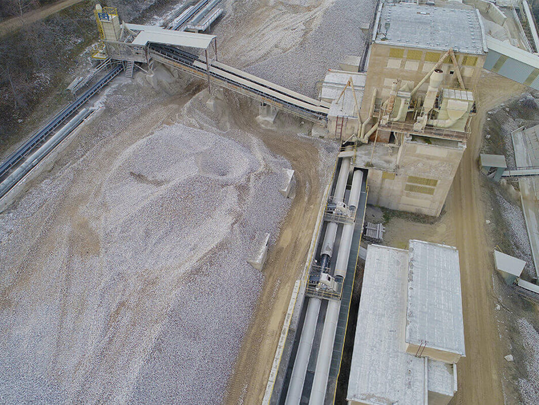
The Devil’s Stairs limestone required a 3D model of the initial state and the amount of limestone extracted in the quarry. The subsequent task was to calculate the landfill cubic capacity.
Surveying and Processing
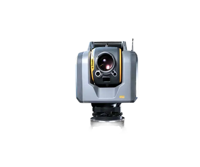
Firstly, the landfill was surveyed using conventional geodetic methods. Next, a drone pass over the area of interest was carried out for subsequent photogrammetric processing, resulting in a georeferenced point cloud and digital terrain model.
Comparing the 3D models of the initial and current state, the difference was identified and the cubic volumes were calculated.
.webp)

.jpg)

