3D documentation of engineering networks by mobile phone
Read

Pasportization of Čiper's Villa

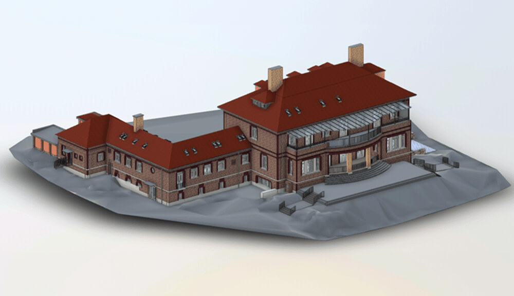
We prepared a passportisation of Čiper's villa in the form of a BIM model.

For the Zlín Region we prepared a passportisation of the rational classicist Čiper's Villa in Zlín.
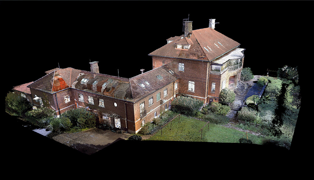
Pasportization was carried out by laser scanning in the form of simplified documentation (according to Decree No. 499/2006 Coll., on building documentation (Annex No. 14) and the BIM model at the same time. The survey also included the surroundings of the villa using photogrammetry and classical geodetic methods, including the adjacent terrace and garden house. The BIM model also included the HVAC distribution system.

Creation of passport and 3D model

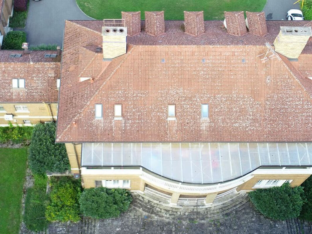
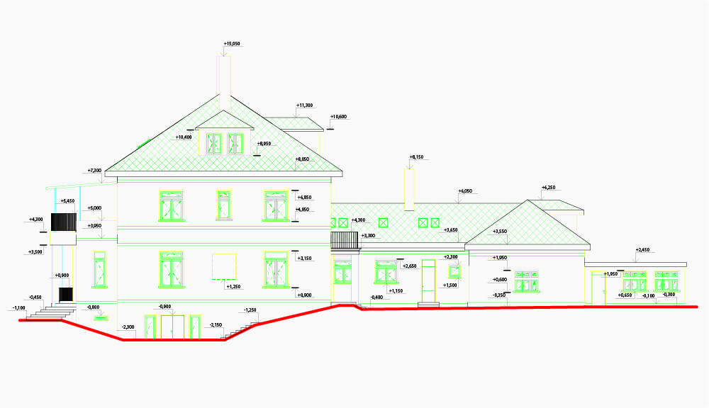
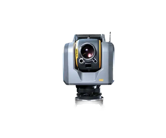
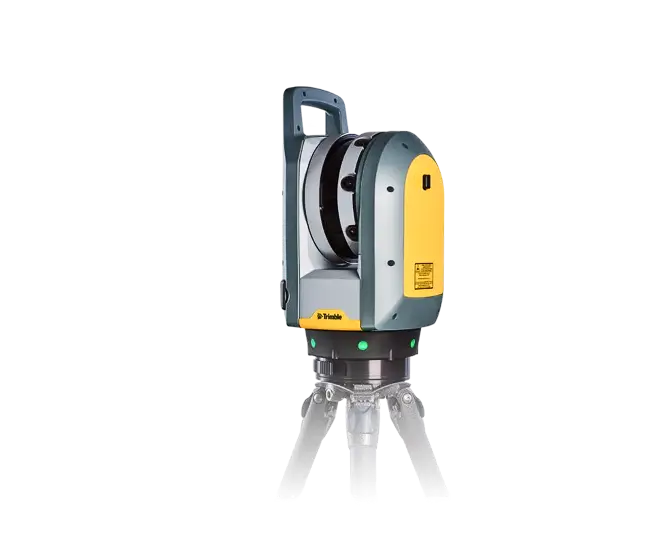
The object was located using laser scanning and aerial photography. The actual scanning work was carried out by two static scanners. A scanner combined with a Trimble SX10 total station was used to ensure accuracy. In addition, a Trimble X7 scanner was used to complete the scans indoors and possibly shaded areas outdoors. At the same time, georeferencing to S-JTSK was carried out using GNSS waypoints. Aerial photography was used to provide a complete cloud cover, particularly of the roof. The obtained point clouds were programmatically processed and digitized in Autodesk ReCap and Autodesk Revit software, where they served as the geometric basis for the creation of the 3D model of the interior and exterior. At the same time, construction drawings were created - floor plans, sections, views.
Objectives and benefits

The aim is to document the object using modern laser scanning methods, prepare a passport according to the decree and then create 3D models of existing objects including BIM in level and detail according to the customer's requirements. Furthermore, preparation of data for design offices, preparation of model for connection to facility management.

Graphic advantages

  • visibility of structures and HVAC installations (graphic and descriptive information)
  • surveying the object with high precision and detail
  • etter visualization for the customer (addressing changes in the project)
  • possibility to create 2D drawing documentation

Non-graphical advantages

  • meeting legal obligations and updating missing or outdated documentation
  • legalisation of the building - a geometric plan can be drawn up together with the passport
  • possibility of connection to facility management (use by the investor)
  • simple and quick spreadsheets, statistics
Technologies used

Trimble SX10

The Scanning Total Station is an innovative solution in mapping, engineering and geodesy worldwide, thus setting new standards for geodetic instruments.

Trimble X7

The high-speed scanning station is the latest innovative mapping, engineering and geodesy solution that provides data visualization in the field. The basis is fully integrated 3D scanning functions. Allows you to export data to standard point cloud formats.

Contact us

Not sure which service is right for you?
Ask our experts.
Thank you
Your data request has been successfully sent!
We will contact you soon.
Something went wrong, please try again.
Ing. Miroslava Kubíčková
Expert consultant in the field of mapping, LiDAR, photogrammetry, UAV/UAS, 3D models, and BIM