3D documentation of engineering networks by mobile phone
Read

Model of villa Strakonice

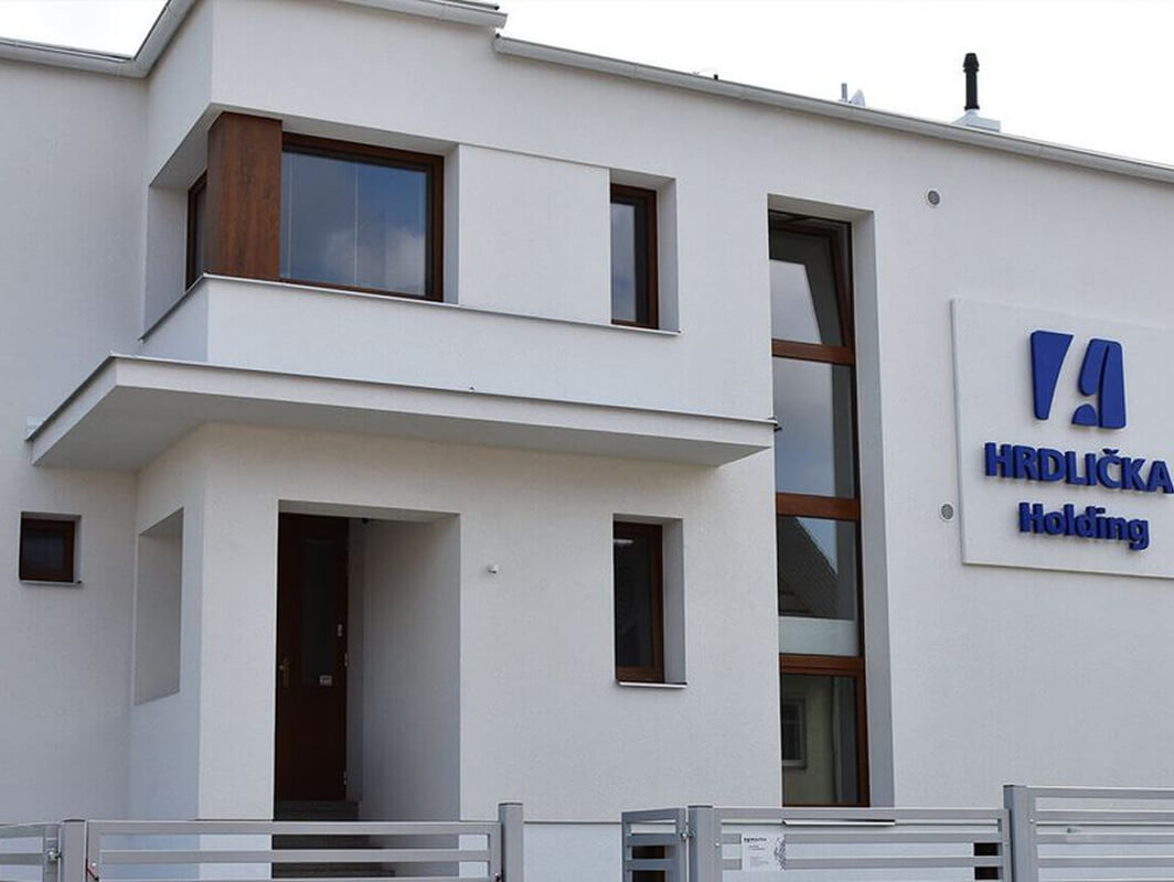
We created a BIM model of a villa in Raisova Street.
200 m2

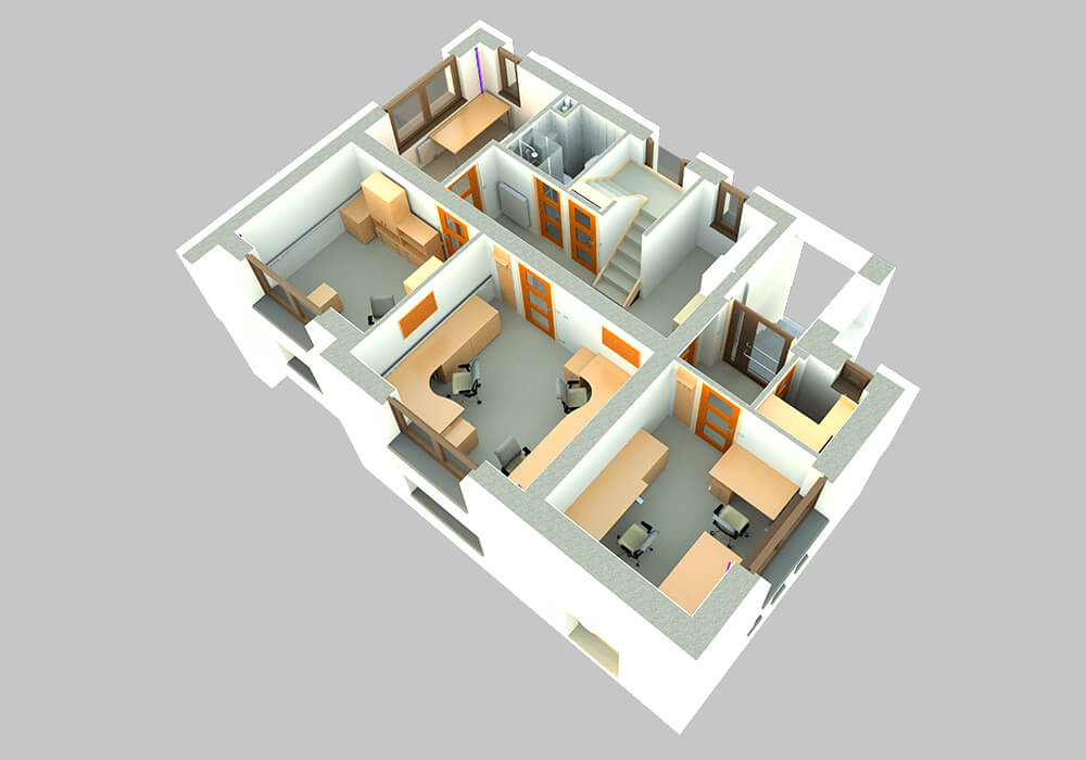
Processing of the model at the stage of the actual construction including internal HVAC distribution. With a view to the connection of facility management for building management.

Creating a 3D model

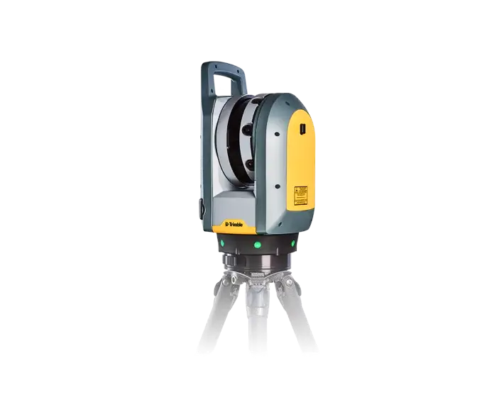
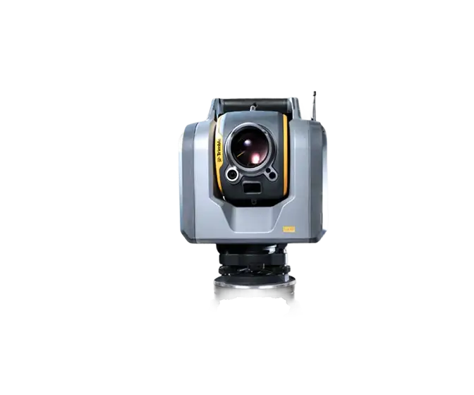
Using a Trimble SX10 laser scanner, data was acquired for the exterior of the building including the roof and elements above the roof plane. A Trimble X7 scanned the interior spaces. The resulting point cloud served as the geometric basis for the 3D model that was created in Autodesk Revit software. The updated construction documents were used in the creation of the model to complete the structural and HVAC element compositions and ductwork.
Objectives and benefits

Our goal is to create 3D models of existing buildings including BIM at the level and detail required by the investor. Furthermore, we prepare data for design offices and prepare a model for connection to facility management.

Graphic advantages

  • visibility of structures and HVAC installations (graphic and descriptive information)
  • better orientation and imagination for the customer (dealing with changes in the project)
  • possibility to generate 2D drawing documentation

Non-graphical advantages

  • possibility of connection to facility management (use by the investor)
  • modelled objects reported automatically (number, size, ...)
  • simple and quick spreadsheets, statistics

‍

Technologies used

Trimble X7

The high-speed scanning station is the latest innovative mapping, engineering and geodesy solution that provides data visualization in the field. The basis is fully integrated 3D scanning functions. Allows you to export data to standard point cloud formats.

Trimble SX10

The Scanning Total Station is an innovative solution in mapping, engineering and geodesy worldwide, thus setting new standards for geodetic instruments.

Contact us

Not sure which service is right for you?
Ask our experts.
Thank you
Your data request has been successfully sent!
We will contact you soon.
Something went wrong, please try again.
Ing. Miroslava Kubíčková
Expert consultant in the field of mapping, LiDAR, photogrammetry, UAV/UAS, 3D models, and BIM