3D documentation of engineering networks by mobile phone
Read

Case Study from District Court

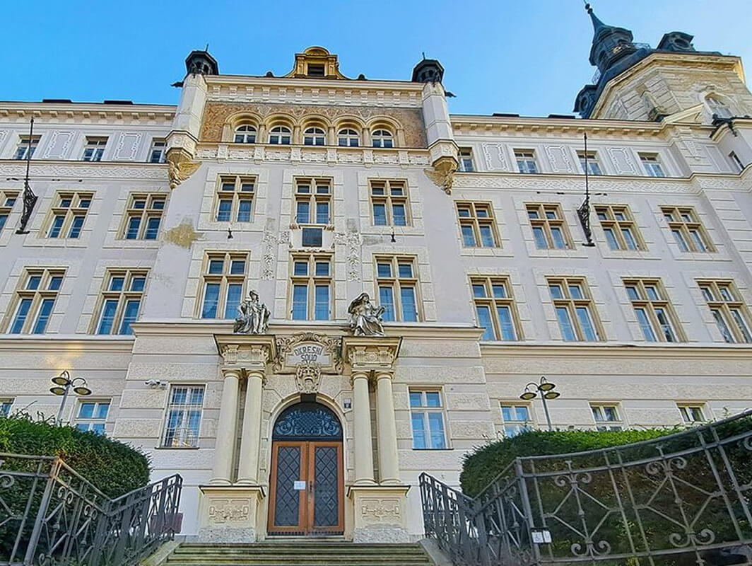
We have prepared the as-built documentation of the District Court in Karlovy Vary.

For the display of the interior and exterior of the District Court in Karlovy Vary, we chose the method of 3D laser scanning which measured the entire building completely.

The documentation included the complete surveying of the building, outputs in the dwg and dxf formats, coordinates of points, ground plans of all floors (incl. the height of windowsills and any other structures), cross sections, all façades and the layout of the building and the immediate neighbourhood

Creation of 3D Model

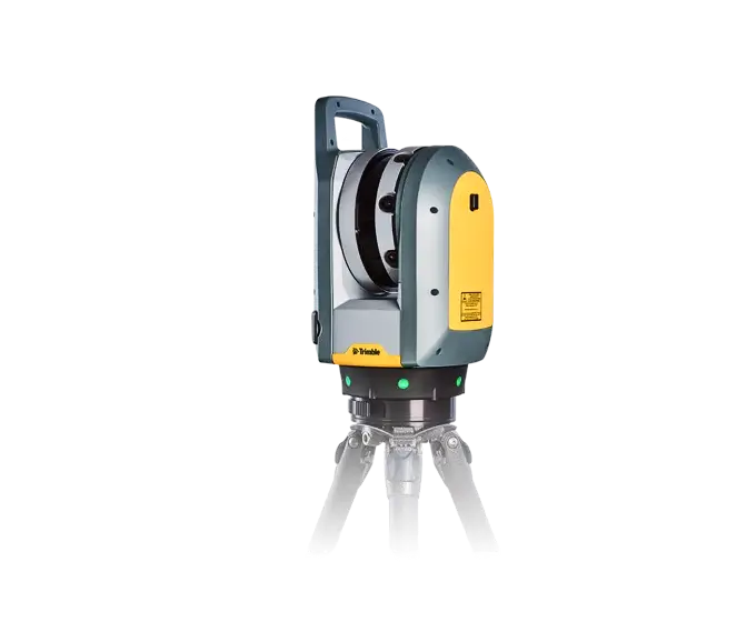
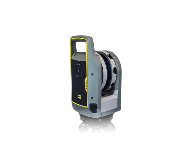
The scanning works themselves were performed using two static scanners. One of them was Trimble X9, having a high level of automation (self-calibration, self-horizoning, self-registration, ...), and the other Trimble X7. Thanks to the team's efficient work and the applied technology, we achieved the desired accuracy and rate of data collection, which is crucial for the quick implementation of this type of projects. The obtained point clouds were processed and digitised in Autodesk Revit software. The resulting drawings (views, sections and ground plans) of the entire Court building were created from the 3D model.
Objectives and Benefits

Our objective was the collection of 3D data in the required accuracy and density for the creation of the 3D model. The data were collected by means of laser scanning using three static scanners Trimble X9 and Trimble X7, which enables sufficient data accuracy and sufficient density of the resulting point cloud to process the 3D model. The creation of the full 3D model by means of laser data enables creating the permanent record of the interior, attractive presentation or analysis of the space for further planning or reconstruction.

Graphic Benefits

  • Finding detailed properties and general geometry of objects
  • High precision object surveying
  • High speed and determination of results when needed
  • Detailed survey
  • Better orientation and imagination for the client (dealing with changes in the project)
  • Presentation visualisation of the object as a whole
  • Suitable basis for design and modelling
  • Realisation of sections at any location and level of detail
  • Possibility to generate 2D drawing documentation

Non-Graphic Benefits

  • Possibility to connect to facility management (use by the investor)
  • Simple and quick spreadsheets, statistics
  • Easy updating of 3D models
Technologies used

Trimble X7

The high-speed scanning station is the latest innovative mapping, engineering and geodesy solution that provides data visualization in the field. The basis is fully integrated 3D scanning functions. Allows you to export data to standard point cloud formats.

Trimble X9

A high-speed scanning station with a high degree of automation (autocalibration, auto-horizon, autoregistration,...) extends the Trimble X7. It delivers greater range, higher precision and sensitivity of the laser, improving scanning results. Dark or reflective surfaces that are still difficult to process can be scanned, as well as smaller areas with higher density to obtain the necessary detail.

Contact us

Not sure which service is right for you?
Ask our experts.
Thank you
Your data request has been successfully sent!
We will contact you soon.
Something went wrong, please try again.
Ing. Miroslava Kubíčková
Expert consultant in the field of mapping, LiDAR, photogrammetry, UAV/UAS, 3D models, and BIM