



.jpg)
.jpg)
.jpg)
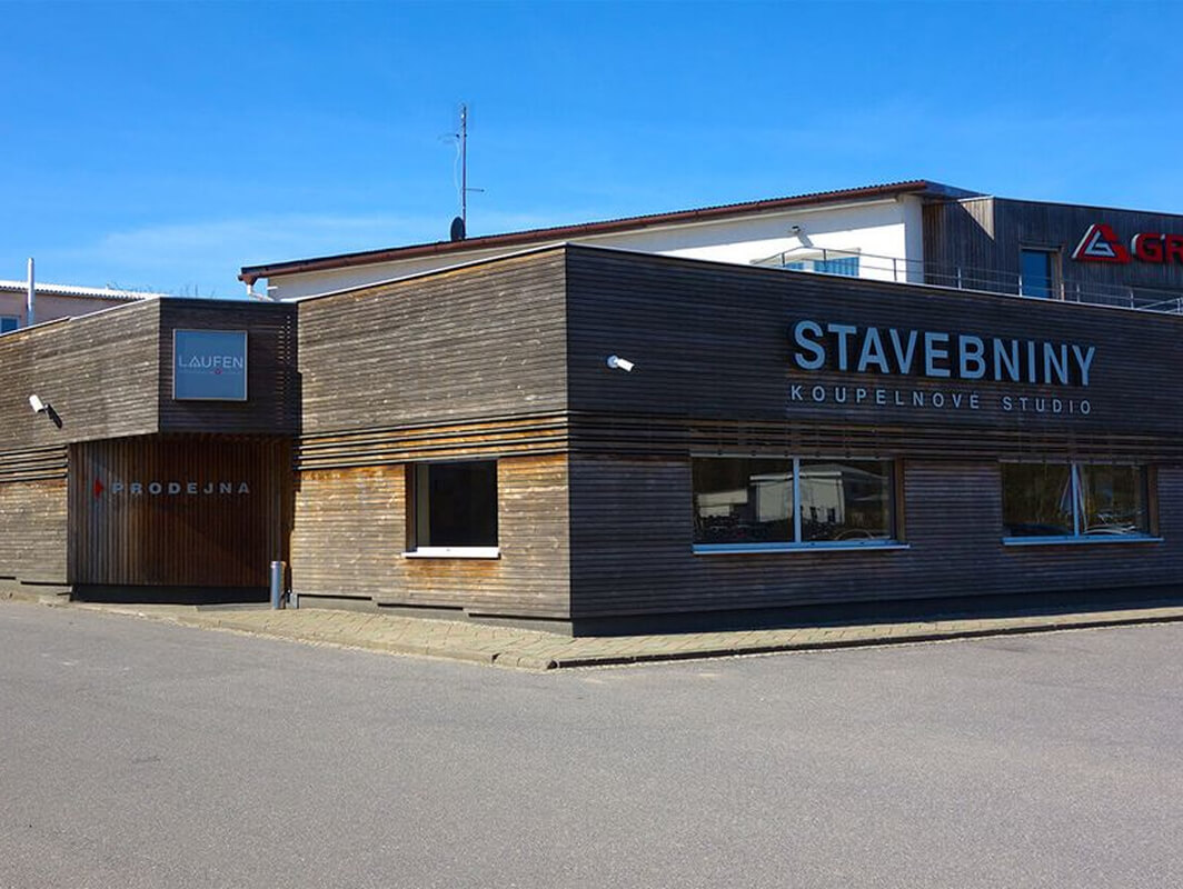
The construction company’s headquarters are located in Velké Meziříčí, and the scope of the project was to map the existing complex. The assignment included a requirement to develop a BIM model at LOD 200 for external structures. Data collection was performed using unmanned aerial vehicles (drones) and terrestrial laser scanning.
Creation of a 3D model and BIM
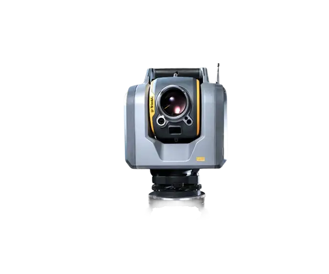
The site was surveyed using a DJI Phantom 4 PRO drone at a ground resolution of 2 cm/pixel. A digital surface model was created from the aerial imagery data in the JTSK coordinate system and the Bpv elevation system. The acquired data was supplemented with facade scans using a Trimble SX10 device. The resulting point clouds were processed and digitized using Autodesk ReCap and REVIT software.
Output data format: RVT
.webp)

.jpg)

