3D documentation of engineering networks by mobile phone
Read

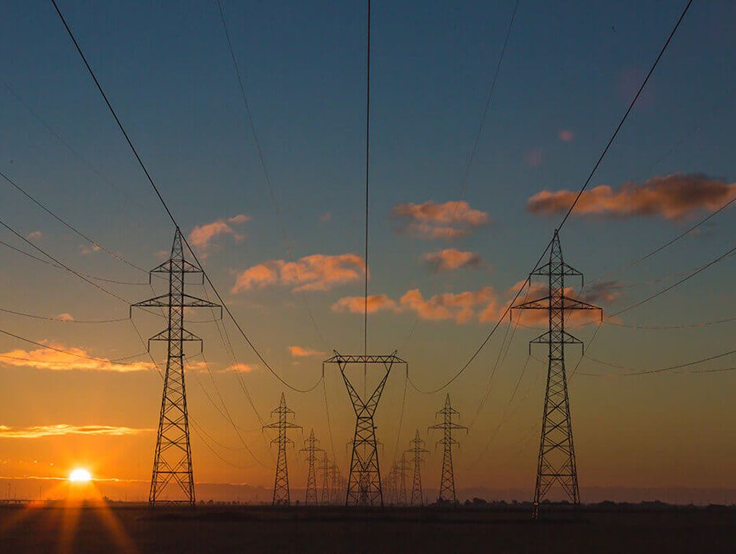
Scanning of VHV Towers

We performed a detailed laser scan of the VHV towers to complete the documentation.

One of our long-standing clients contacted us about completing the missing documentation of VHV truss towers. Taking into account the shape of the towers and the requirement for high accuracy of surveying, we chose ground-based laser scanning as the most suitable method.

Scanning Truss Towers

The fieldwork was carried out using the static ground-based laser scanning method. The tower was scanned from all sides so that the resulting point density was 1 cm on average with an accuracy of 3 mm. Subsequently, a point cloud was created as a basis for the creation of the documentation of the truss towers, as well as the determination of deformations of selected tower elements.

Objectives and Benefits

Our goal is to create the basis for the drawing documentation and a possible 3D model of the existing towers.

Advantages of Object Scanning

  • High precision surveying of towers
  • Determination of the detailed properties and general geometry of the tower
  • Possibility to measure the thickness of the individual elements and type of joints
  • Detailed documentation of downstream elements, such as insulators, their fixing, etc.
Technologies used

DJI Phantom 4 Pro

We use this drone mainly for more precise and less extensive work, or for vertical mapping. It is equipped with a high quality 20 megapixel camera with the ability to record 4K videos.

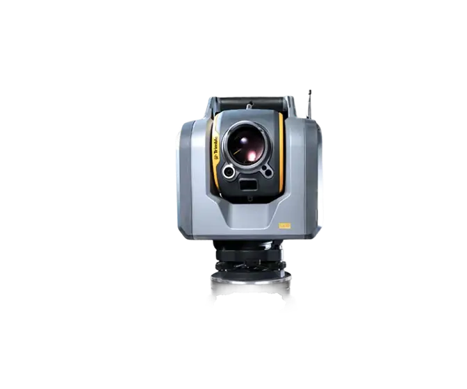
Trimble SX10

The Scanning Total Station is an innovative solution in mapping, engineering and geodesy worldwide, thus setting new standards for geodetic instruments.

Contact us

Not sure which service is right for you?
Ask our experts.
Thank you
Your data request has been successfully sent!
We will contact you soon.
Something went wrong, please try again.
Ing. Miroslava Kubíčková
Expert consultant in the field of mapping, LiDAR, photogrammetry, UAV/UAS, 3D models, and BIM