3D documentation of engineering networks by mobile phone
Read

Passportisation of Bridges and Culverts for the Road ŘSD

We have prepared a passportisation of bridges and culverts in the form of BIM models.

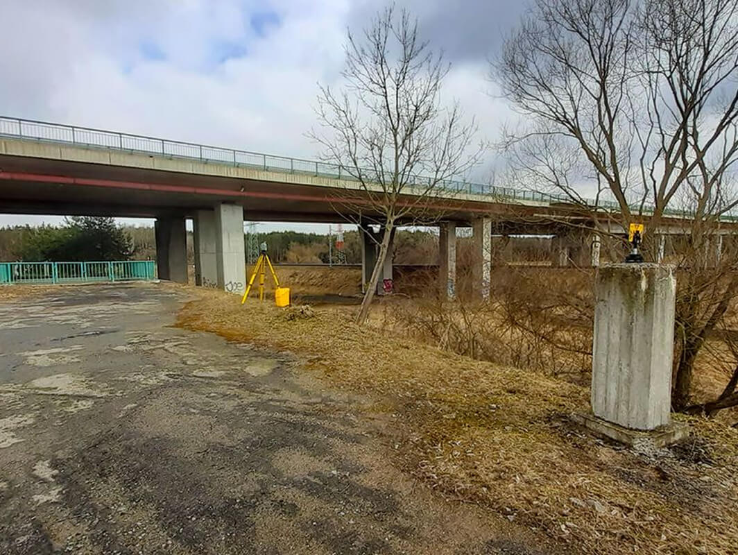
For the Road and Motorway Directorate of the Czech Republic (ŘSD), we have prepared a contract for the passporting of bridges and culverts in the form of BIM models. Four objects were selected for the purposes of the pilot documentation of transport structures: a single motorway beam bridge 37 m long on the D11 motorway, a double motorway bridge with 13 spans and 465 m long on the D3 motorway, a culvert on the D4 motorway (structurally consisting of a bridge overlay), and a tubular culvert on the I/18 motorway.

Creation of 3D Model

The objects were scanned with Trimble X7 and Trimble SX10 laser scanners. At the same time, georeferencing to S-JTSK was carried out using GNSS points. The obtained point clouds were processed and digitised in Autodesk ReCap, Autocad, Revit software.
Objectives and Benefits

The aim is to assess the possibilities of how to use in the maximum way the data obtained in the framework of their mass collection in the mapping of the ŘSD transport infrastructure, which will take place due to the need to fill the spatial data into the Digital Technical Map of the Czech Republic.

Graphic Benefits

  • High precision object surveying
  • Determination of the object's detailed properties and general geometry
  • Possibility to measure the thickness of the individual elements

Non-Graphic Benefits

  • Element area specification
  • Element lengths specification
  • Element quantity specifications
Technologies used

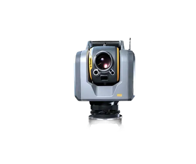
Trimble SX10

The Scanning Total Station is an innovative solution in mapping, engineering and geodesy worldwide, thus setting new standards for geodetic instruments.

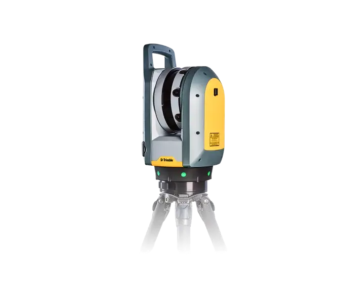
Trimble X7

The high-speed scanning station is the latest innovative mapping, engineering and geodesy solution that provides data visualization in the field. The basis is fully integrated 3D scanning functions. Allows you to export data to standard point cloud formats.

Contact us

Not sure which service is right for you?
Ask our experts.
Thank you
Your data request has been successfully sent!
We will contact you soon.
Something went wrong, please try again.
Ing. Miroslava Kubíčková
Expert consultant in the field of mapping, LiDAR, photogrammetry, UAV/UAS, 3D models, and BIM