



.jpg)
.jpg)
.jpg)
The greenery passport with a total extent of 301 km is used to support the operation of the ŘSD. Its content is determined by the new internal regulation B6 Regulation for Uniform Collection and Registration of Roads Accompanying Vegetation within the ŘSD ČR. The data collection evaluates all vegetation and technical elements that are essential for the maintenance of the greenery.
Creation of 3D Model
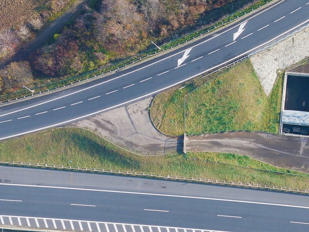
The actual processing was based on TrueOrthophoto with a resolution of 2 cm/pixel and other products of aerial photogrammetry, which were classic orthophoto with a resolution of 5 cm/pixel and a digital model of the surface in the form of a point cloud. The orthophotos were processed into a WMS service. The positional evaluation of vegetation areas and the individual elements was carried out in the Qgis software. Determination of height and slope attributes was made based on the raster of relative object heights and the raster of slopes (FME program).

.jpg)

