3D documentation of engineering networks by mobile phone
Read

Family House

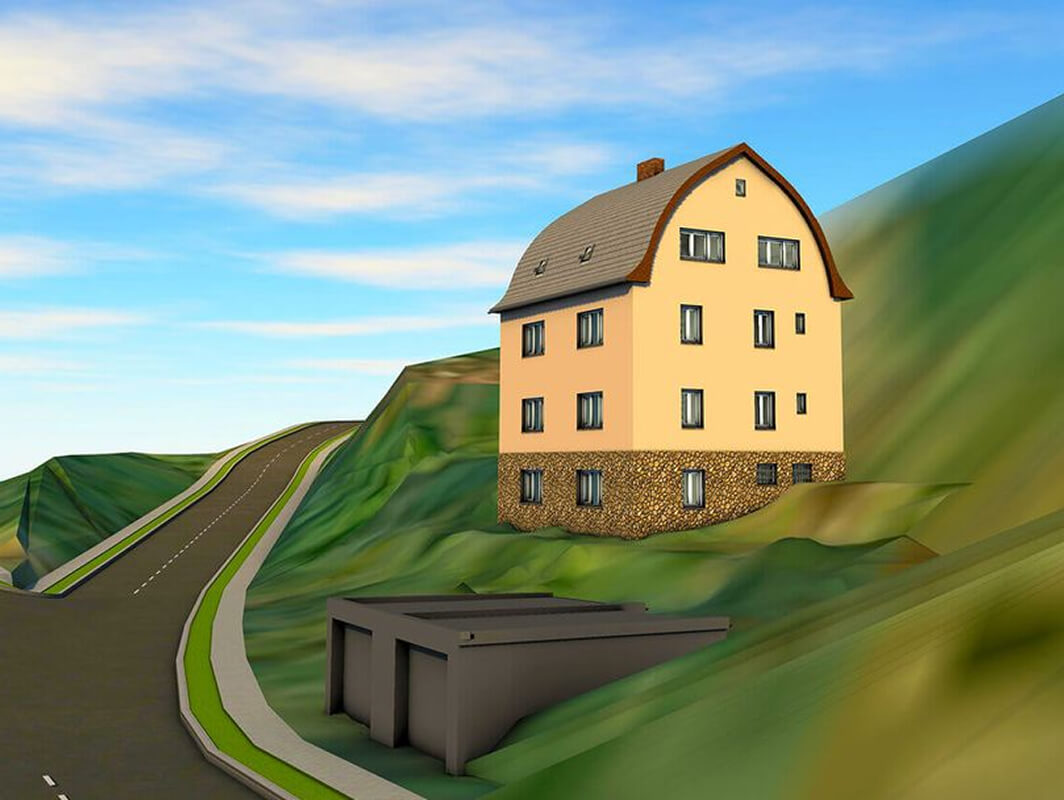
We have created a 3D model of a family house in Ústí nad Labem.
110 m2

The contract assignment was to create 2D construction documentation (floor plans, building sections, and views) for the family house. Data collection was performed using ground-based laser scanning.

Creation of 3D Model

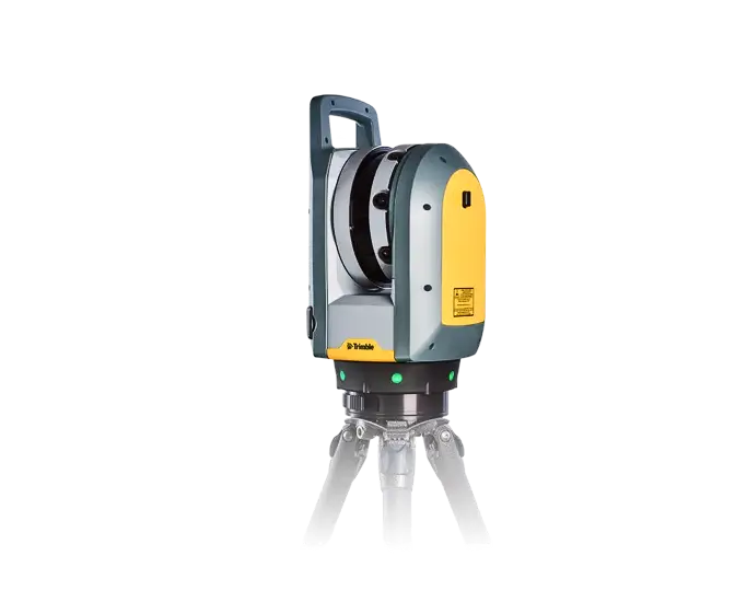
The whole object was focused using a Trimble X7 laser scanner. At the same time, georeferencing to S-JTSK was carried out using GNSS points. The obtained point clouds were processed and digitised in Autodesk ReCap and Revit, InfraWorks software.

Output Data Format: RVT
Objectives and Benefits

  • High precision in object processing
  • Point cloud validation
  • No need for additional surveying

Graphic Benefits

  • High precision object surveying
  • Determination of the detailed properties and general geometry of the building
  • Possibility to measure the thickness of the individual elements and type of joints
Technologies used

Trimble X7

The high-speed scanning station is the latest innovative mapping, engineering and geodesy solution that provides data visualization in the field. The basis is fully integrated 3D scanning functions. Allows you to export data to standard point cloud formats.

Contact us

Not sure which service is right for you?
Ask our experts.
Thank you
Your data request has been successfully sent!
We will contact you soon.
Something went wrong, please try again.
Ing. Miroslava Kubíčková
Expert consultant in the field of mapping, LiDAR, photogrammetry, UAV/UAS, 3D models, and BIM