3D documentation of engineering networks by mobile phone
Read

Bavory Spring Site Shafts

We created a BIM model of the Bavory Spring Site shafts.
140 m2

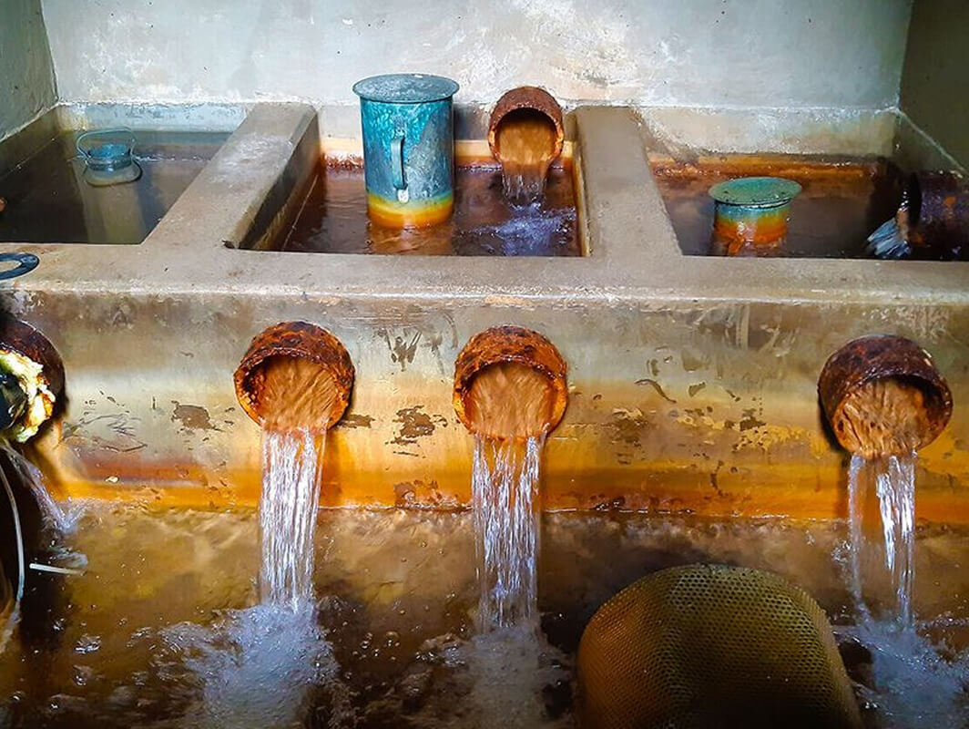
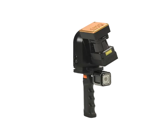
The scope of the project involved surveying underground water supply shafts in an inaccessible area of the spring site and preparing documentation for them, including BIM models at LOD100. Specifically, this involved surveying and modeling visible structural elements, including piping. The data collection conditions—the internal complexity of the structures, limited space, and difficult access—were ideal for using the GEOSLAM ZEB REVO RT handheld mobile scanner.

3D Modeling and BIM

The modeling work was performed in Autodesk Revit. The point clouds collected by the scanner and processed in GeoSLAM Hub software served as the basis for the work. The completed shaft models serve as data for designers and as detailed electronic documentation—a digital twin of the structures.

Output data formats: RVT, DWG
Objectives and Benefits

Our goal is to collect data and create 3D models of existing buildings in accordance with BIM standards, at the level of detail specified by the client. We prepare data for design firms—direct integration with the model is achieved using native formats or, if necessary, by exporting to another required format.

Graphical Benefits

  • Visibility of structures and internal installations (graphical and descriptive information)
  • Better orientation and visualization for the client (handling changes to the project)
  • Ability to generate 2D drawing documentation
  • Additional modifications and updates to the model are automatically reflected in all drawings
  • Easy comparison of the actual state against the project

Non-graphical advantages

  • Ability to connect to building management systems
  • Modelled objects reported automatically (count, dimensions, etc.)
  • Simple and fast tabular reports and statistics
Technologies used

Geoslam ZEB REVO RT

Mobile laser scanning system for use especially in interiors of objects and buildings. It uses a combination of laser scanning and SLAM (localization and mapping simultaneously) technologies.

Contact us

Not sure which service is right for you?
Ask our experts.
Thank you
Your data request has been successfully sent!
We will contact you soon.
Something went wrong, please try again.
Ing. Miroslava Kubíčková
Expert consultant in the field of mapping, LiDAR, photogrammetry, UAV/UAS, 3D models, and BIM