3D documentation of engineering networks by mobile phone
Read

3D Model of the Nekmíř Castle

We scanned the Nekmíř Castle using the laser scanning method and made a 3D model.
790 m2

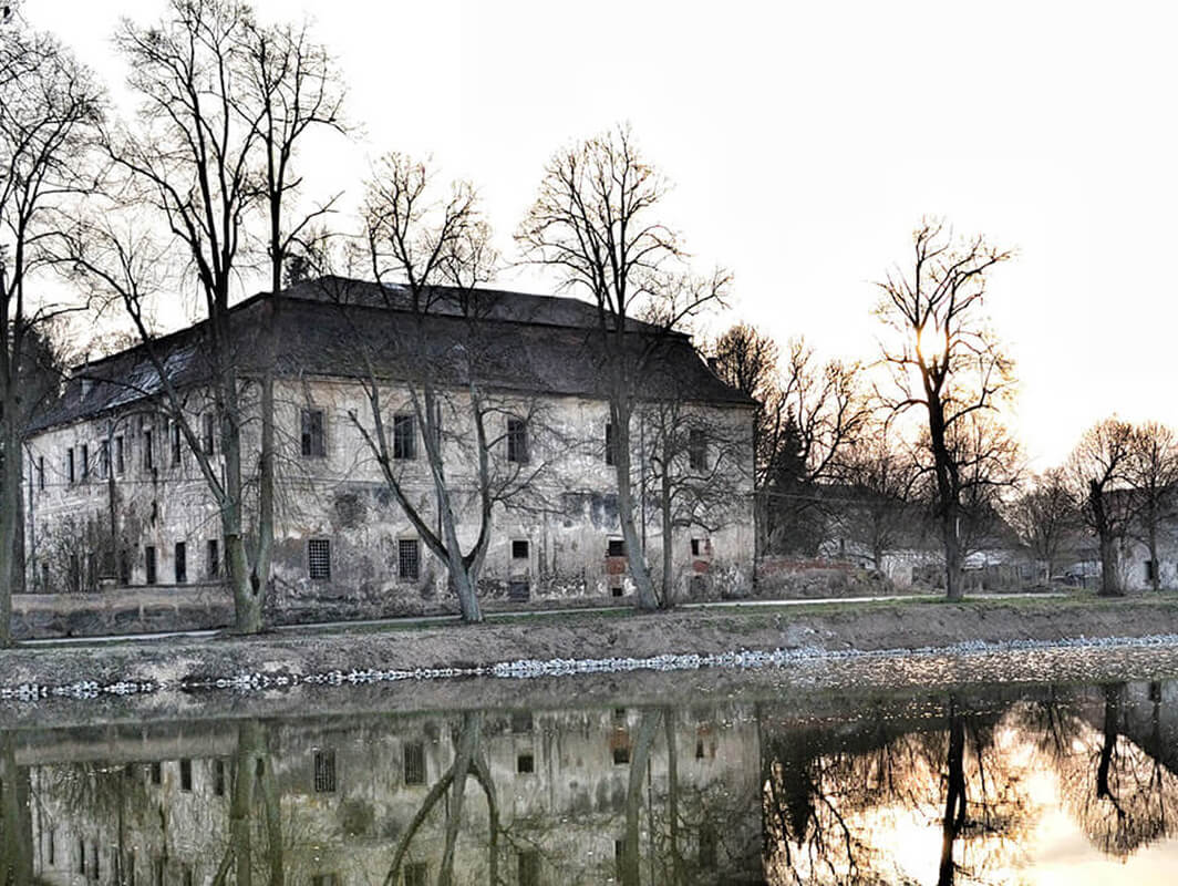
The village of Nekmíř is located 12 km from Pilsen. The Renaissance-Baroque castle was built on the site of a medieval fortress from the 14th century, which is uniquely preserved in the northeast wing of the castle. It was rebuilt into its present form in the 2nd half of the 18th century. It has been listed as a cultural monument since 1958.

Creation of 3D Model

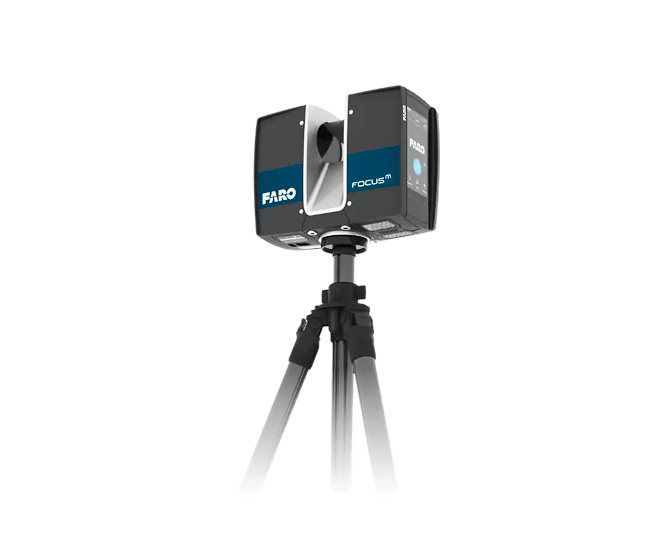
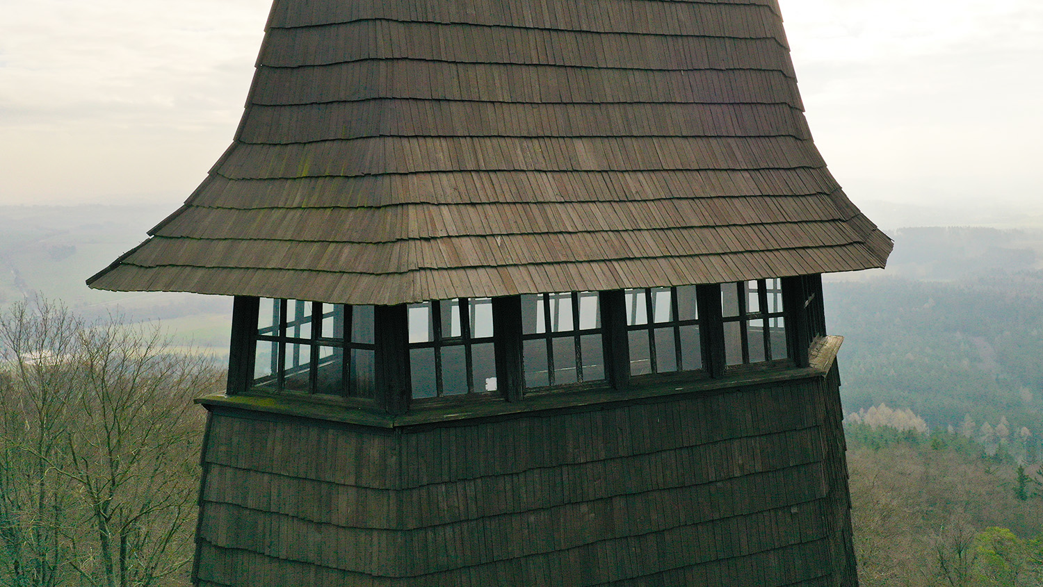
The interior and exterior spaces were scanned with a FARO laser scanner. From the obtained cloud, a 3D model of the truss of all wooden elements was created as a basis for the design office to generate floor plans, views, and sections at any point of the truss. The generated data were processed in Autodesk ReCap, REVIT, and Autocad software.

Output Data Format: RVT, DWG

Objectives and Benefits

Our goal is to create 3D models of existing objects according to the investor’s requirements. Preparation of data for design offices.

Graphic Benefits

  • Better orientation and imagination for the client (dealing with changes in the project)
  • Possibility of projecting the model into virtual reality goggles for a comprehensive imagination
  • Possibility to generate 2D drawing documentation
  • Presentations in the form of visualisations
Technologies used

DJI Phantom 4 Pro

We use this drone mainly for more precise and less extensive work, or for vertical mapping. It is equipped with a high quality 20 megapixel camera with the ability to record 4K videos.

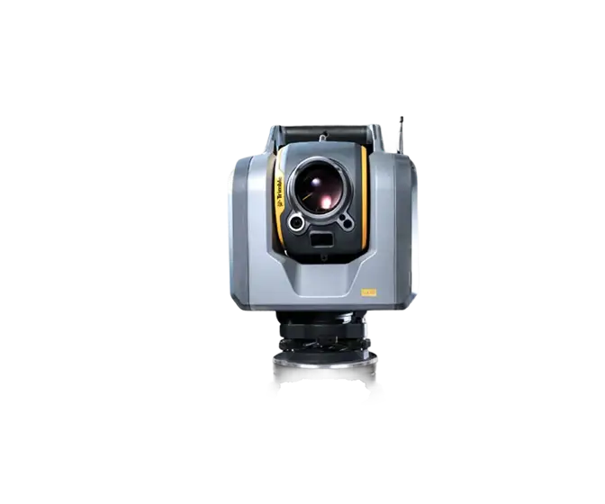
Trimble SX10

The Scanning Total Station is an innovative solution in mapping, engineering and geodesy worldwide, thus setting new standards for geodetic instruments.

FARO Focus M

The FARO Focus M Laser Scanner is a powerful high-speed static laser scanner designed specifically for short-range scanning applications in small spaces.

Contact us

Not sure which service is right for you?
Ask our experts.
Thank you
Your data request has been successfully sent!
We will contact you soon.
Something went wrong, please try again.
Ing. Miroslava Kubíčková
Expert consultant in the field of mapping, LiDAR, photogrammetry, UAV/UAS, 3D models, and BIM