Technologies used

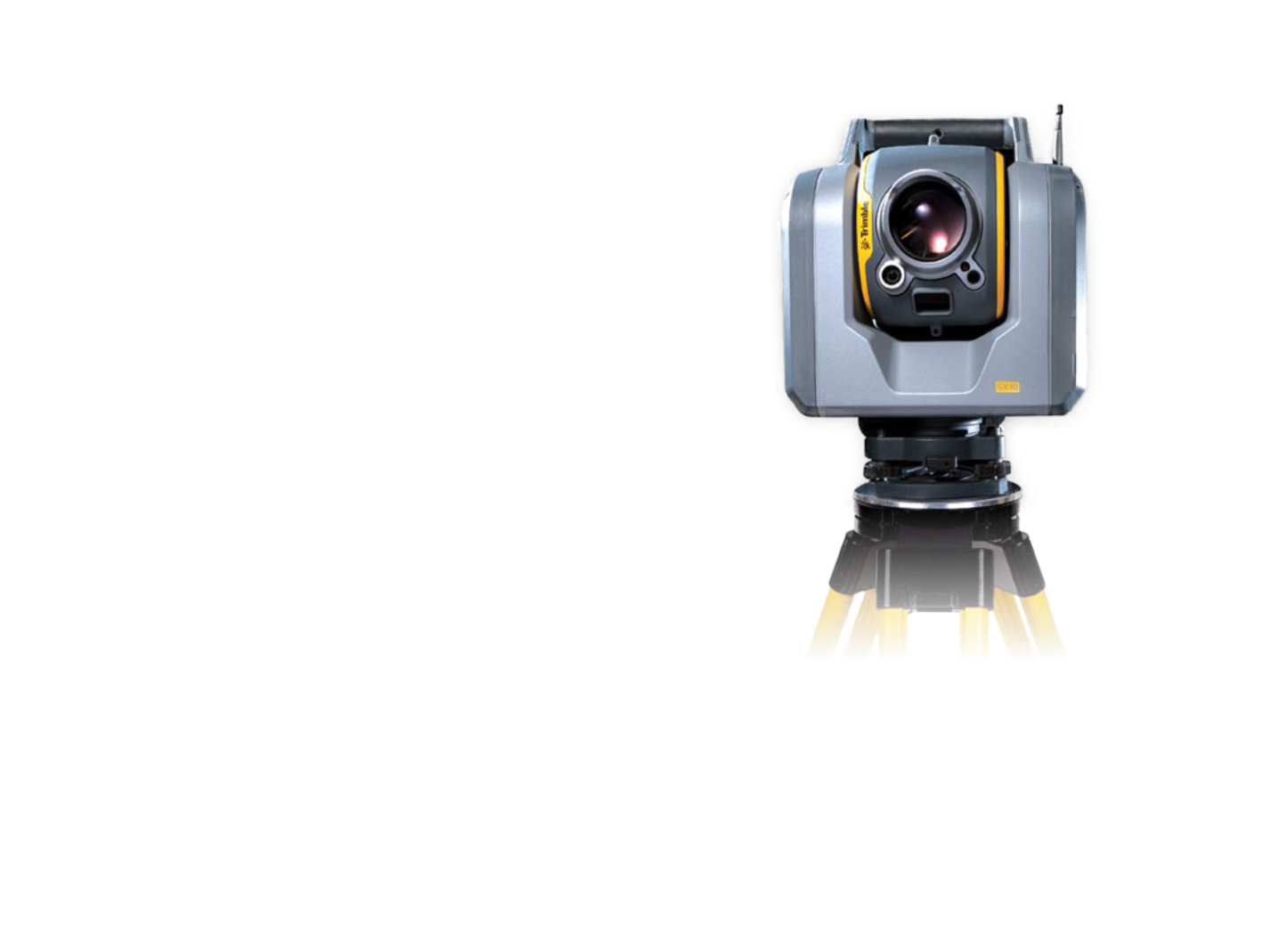
Trimble SX10


For the Road and Motorway Directorate of the Czech Republic (ŘSD), we have prepared a contract for the passporting of bridges and culverts in the form of BIM models. Four objects were selected for the purposes of the pilot documentation of transport structures: a single motorway beam bridge 37 m long on the D11 motorway, a double motorway bridge with 13 spans and 465 m long on the D3 motorway, a culvert on the D4 motorway (structurally consisting of a bridge overlay), and a tubular culvert on the I/18 motorway.
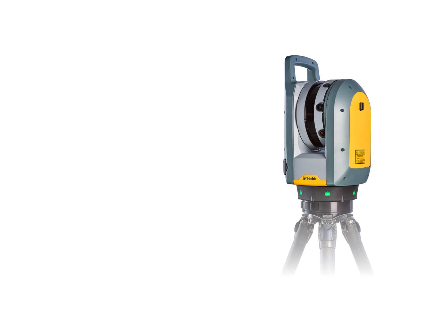
The objects were scanned with Trimble X7 and Trimble SX10 laser scanners. At the same time, georeferencing to S-JTSK was carried out using GNSS points. The obtained point clouds were processed and digitised in Autodesk ReCap, Autocad, Revit software.
The aim is to assess the possibilities of how to use in the maximum way the data obtained in the framework of their mass collection in the mapping of the ŘSD transport infrastructure, which will take place due to the need to fill the spatial data into the Digital Technical Map of the Czech Republic.


