Požádat u ukázku výstupních dat
a nebo nás rovnou kontaktujte.

Company Headquarters

We have created a BIM model of the HRDLIČKA headquarters premises in Stodůlky, Prague.
Area: 5 500 m2
For more information, scroll

Detailed description

The headquarters of HRDLIČKA spol. s r.o. is located in Prague – Stodůlky, and a fourth building is planned to be added next year to the existing three. In order to implement the REVIT system and to facilitate cooperation on the development of facility management, we created two 3D models with LOD 200 and LOD 300 levels.

3D Model Creation and BIM

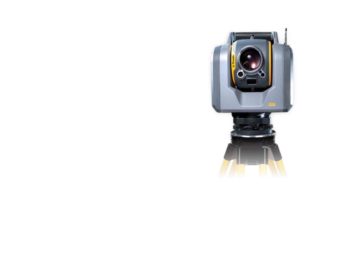
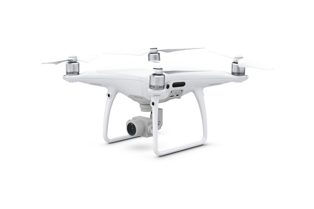
The building interiors were scanned with a GeoSLAM ZEB-REVO Real Time laser scanning instrument. The acquired point cloud was supplemented with scans of the facades using a Trimble SX10. The exteriors were then photogrammetrically imaged by a DJI Phantom drone, which created a digital model in the JTSK coordinate system in addition to the orthophotomap.


The created data was processed and digitised in Autodesk ReCap and REVIT software

Output Data Format: RVT

Objectives and Benefits

Our goal is to create 3D models of existing buildings, including BIM at the level and detail required by the investor. Preparation of data for design offices – direct link to the model is solved by native formats or export to IFC format, which is used as a universal format for conversion between various types of software.


Graphic Benefits

  • Visibility of structures and HVAC installations (graphical and descriptive information)
  • Better orientation and imagination for the client (dealing with changes in the project)
  • Possibility of projecting the model into virtual reality goggles for a comprehensive imagination
  • Model modification is automatically reflected in all drawings
  • Possibility to generate 2D drawing documentation
  • Reduction of errors in drawing documentation


Non-Graphic Benefits

  • Possibility to connect to facility management (use by the investor)
  • Modelled objects reported automatically (number, dimensions, etc.)
  • Simple and quick spreadsheets, statistics
  • Reduction of errors in statements and reports

Technologies used

DJI Phantom 4 Pro

We use this drone mainly for more precise and less extensive work, or for vertical mapping. It is equipped with a high quality 20 megapixel camera with the ability to record 4K videos.

Geoslam ZEB REVO RT

Mobile laser scanning system for use especially in the building interiors. It uses a combination of laser scanning and SLAM (simultaneous localisation and mapping) technologies.

Trimble SX10

The scanning total station is an innovative solution in the field of mapping, engineering, and surveying worldwide, setting new standards for surveying instruments.
Request a sample of output data

Reference

Model of villa Strakonice

We created a BIM model of a villa in Raisova Street
More information
200 m2

Pasportization of Čiper's Villa

We prepared a passportisation of Čiper's villa in the form of a BIM model.
More information

Railway Station Documentation for BIM Model

Reconstruction of the tracks and platforms at Čachovice railway station.
More information
Area: 63 150 m2

Passportisation of Bridges and Culverts for the Road ŘSD

We have prepared a passportisation of bridges and culverts in the form of BIM models.
More information

Water Treatment Plant – Vír dam

We have created a BIM model of the area around the Vir dam.
More information
12 500 m2

Contact Us

Not sure which service is ideal for you? Ask our experts.

Ing. Miroslava Kubíčková

Expert consultant in the field of mapping, LiDAR, photogrammetry, UAV/UAS, 3D models, and BIM

By submitting the form you agree to data protection (GDPR)

Děkujeme za odeslání, budeme vás kontaktovat.
Něco se pokazilo. Můžete to zkusit prosím znovu?
Follow us