Technologies used

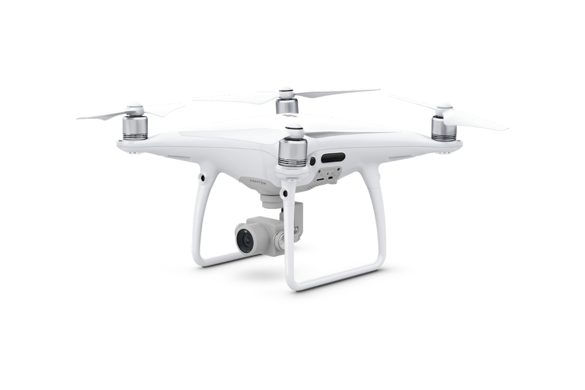
DJI Phantom 4 Pro


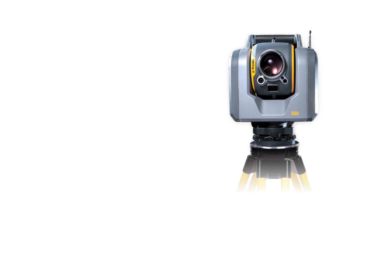
One of our long-standing clients contacted us about completing the missing documentation of VHV truss towers. Taking into account the shape of the towers and the requirement for high accuracy of surveying, we chose ground-based laser scanning as the most suitable method.
The fieldwork was carried out using the static ground-based laser scanning method. The tower was scanned from all sides so that the resulting point density was 1 cm on average with an accuracy of 3 mm. Subsequently, a point cloud was created as a basis for the creation of the documentation of the truss towers, as well as the determination of deformations of selected tower elements.
Our goal is to create the basis for the drawing documentation and a possible 3D model of the existing towers.


