Technologies used
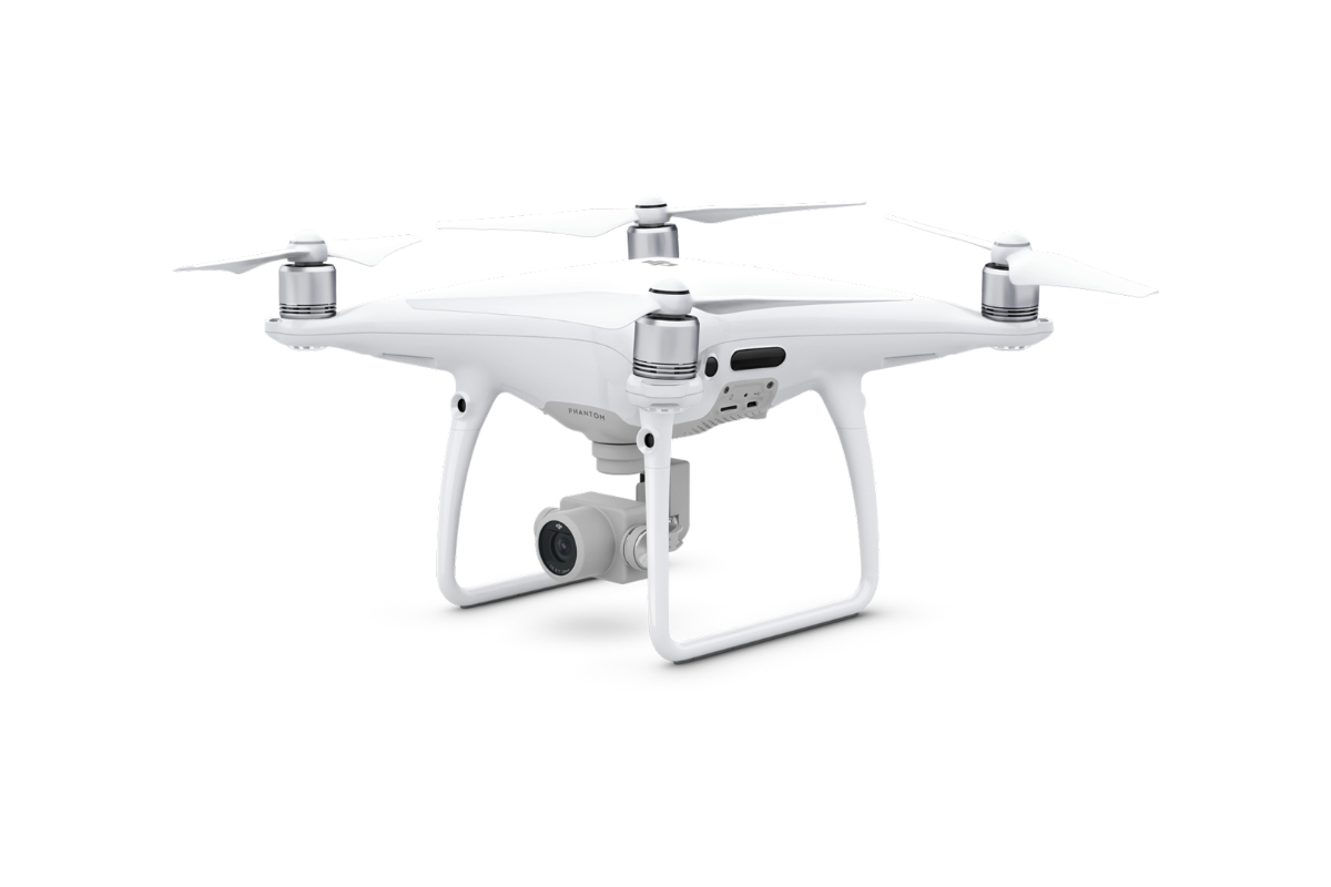
DJI Phantom 4 Pro
We use this drone mainly for more precise and less extensive work, or for vertical mapping. It is equipped with a high quality 20 megapixel camera with the ability to record 4K videos.

An orthophotomap is a true and comprehensible image of the Earth’s surface. It is a work composed of a mosaic of aerial surveying images placed in a coordinate system and corrected according to the area elevation to the plane. It retains the properties of maps – scale, coordinate system, and directional orientation. It reflects the actual state of the Earth’s surface with high narrative power, completeness, clarity, and detail, and it is a reliable source of information.


