Technologies used

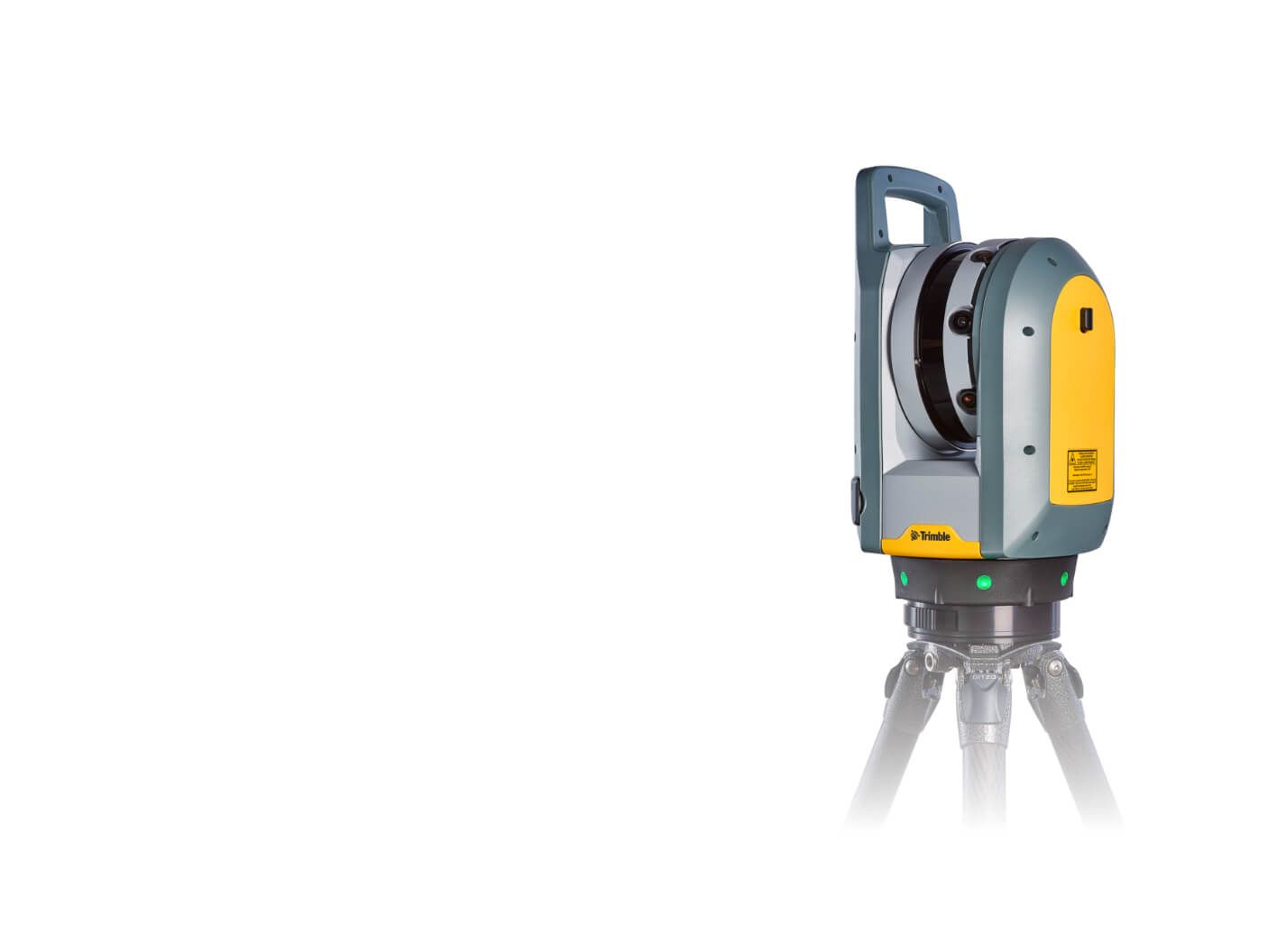
Trimble X7

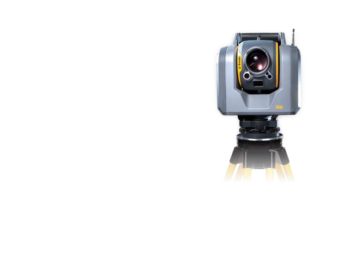
Trimble SX10


For the Hradec Králové Region, we have developed a passportisation of the interior and exterior of the buildings of the Secondary Industrial, Vocational and Primary School. We chose photogrammetry and classical geodetic methods. Using the 3D laser scanning method, we have comprehensively focused on all 6 buildings with almost 300 rooms. The passport was prepared in the form of the BIM method, it involved the creation of a 3D model with information according to the standard of the ČAS agency. The output was a 2D drawing documentation (situation, floor plans, sections, views) including HVAC distribution and 3D models of the building, including individual models of technical installations in IFC format based on the specification according to the ČAS agency in the DSPS phase. The handover of the work included a technical evaluation report for individual objects and 2D construction documentation, which had to be based on the 3D model, and only dimensions and annotation descriptions were added to the 2D documentation.
The actual scanning was done with static scanners. A Trimble SX10 scanner combined with a total station was used to achieve the required accuracy. This machine was used to create a skeleton of accurate scans of the exterior. Two other scanners, the Trimble X9, which has a high level of automation (self-calibration, auto-horizoning, self-registration...), and the Trimble X7 scanner, were used to complete the scans and, where necessary, to shade the exterior areas. At the same time, GNSS waypoints were used for georeferencing to S-JTSK. Aerial photography was used to provide complete cloud coverage, especially of the roof. The resulting point clouds were programmatically processed and digitized in Autodesk and AutoCad software. The clouds were used as a geometric basis for the creation of a 3D model of the building and a 3D model of the individual technical installations. The classification of the elements was done according to the CCI codebook, and descriptive information was added based on the specification of the CCA agency in the DSPS phase. The handover of the work included a technical evaluation report of the individual objects and 2D construction documentation, which had to be based on the 3D model, and only dimensions and annotative descriptions were added to the 2D documentation.
Our objective was to collect 3D data at the required accuracy and density to create a 3D model of existing buildings including BIM at the required level and detail. Data was collected using laser scanning with Trimble SX10, Trimble X9, and Trimble X7 static scanners and aerial photography. This combination allows for sufficient data accuracy and sufficient density of the resulting cloud to process the 3D model. Creating a complete 3D model using laser data allows for a permanent record of the interior, an attractive presentation, or analysis of the space for further planning or reconstruction.


